The Eastover Triangle

These webpages are placed here by the Bridgwater Heritage Group to aid Sedgemoor District Council in the preparation of the Eastover Supplementary Planning Document. In particular, they are here to inform the Issues and Options Consultation Paper. Digital images and text are ©BHG & Dr P E Cattermole August 2012 and may not be reproduced in electronic or printed form without permission. Please enquire here. Note that we have largely excluded the St John’s Conservation Area at present. Frequent reference is given to the Somerset Historic Environment Record (HER) which may be consulted at this URL by entering the number associated with the picture.
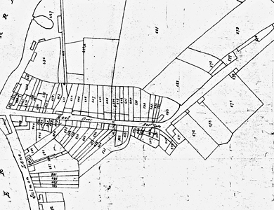
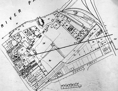
Maps of Eastover and the Corporation Property there in 1835
EASTOVER
MONMOUTH STREET
EAST QUAY
SALMON PARADE
New Road
2012 Conservation Survey of Street Furniture

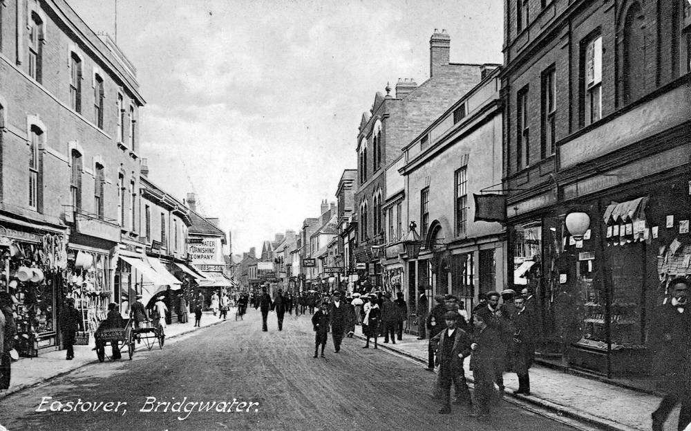
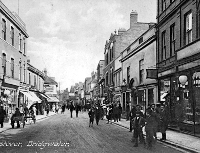
Eastover, from near the town bridge, looking in the direction of St John Street. Postcard, published by ‘The Quantock Series Bridgwater’, postmarked 1 April 1924, sent to Mr A Creedy of 19 Fawcett Road, Croyden, Surry. The message reads: ‘Dear Dad. Thanks for Mackintosh received yesterday. I expect you have heard aunt and uncle are coming later than expected so mum said you had better get a small leg of lamb for Sunday as it is Bank Holiday on Monday and you will not be able to get anything. Mother has a sick headache today. Love to Les. Ethel.
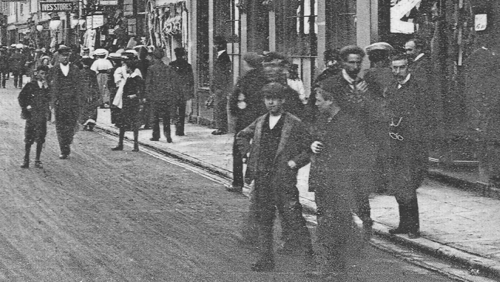
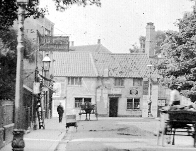
Detail of the same.