Jarman’s 1889 History of Bridgwater has the following note for the plague year 1665.
‘The town suffered greatly from the Plague, and no market could be held for some time for fear of the infection spreading, the country people being too timorous to venture into the town. For the sake of obtaining the necessaries of life the townspeople went as far as Horsey-lane, on the Bath-road, which was fixed upon as a kind of rendezvous for both country and town. Here the villagers brought their farm produce and were met by the townspeople, who bought their wares and returned to the plague-stricken town. An elm was planted at this spot, long known as “Watch Elm” The late Mr. Geo. Parker informed us that he remembered, when a boy, having the tree pointed out to him.

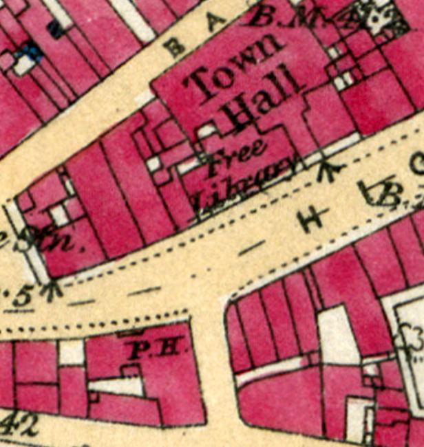
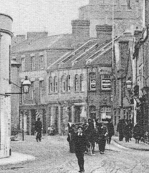
There is no record extant as to how long the pestilence lasted. The tradition has been handed down that the dead were buried at frequent intervals in one common grave in a waste spot in High-street, nearly opposite the Town-hall (covered with neat buildings in 1884-5). This tradition has of recent years been somewhat discredited, but it is probably true, inasmuch as there were no extra burials recorded in St. Mary’s churchyard at that time, and the numerous corpses must have found sepulture somewhere within the precincts of the town.’
The notion of this plague site on the High Street, which was on the corner of Lamb Lane, is an interesting one. Unfortunately, Jarman does not give an explanation of how this idea had been discredited, it could be that nothing was discovered when the new 1884 buildings were erected. However, it does remain puzzling how this exceptionally good piece of land, in a very built up town, had remained unbuilt upon for so many years. We see what appear to be trees on the 1735 Stratchey plan of the town. The memory of the site as a plague pit may have some credit, as there seems little other reason such good land would be left open.


MKP 30 May 2020
