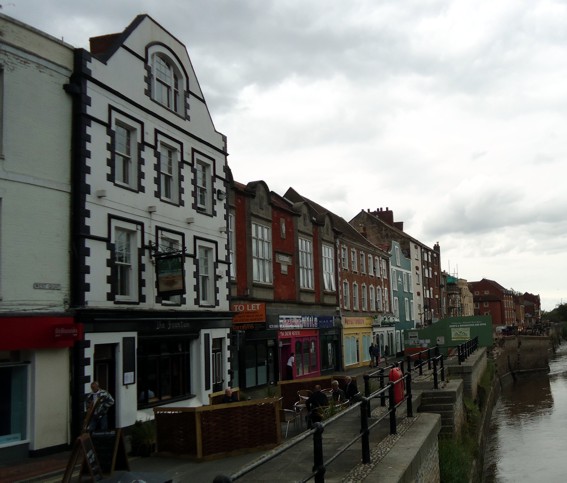
The south part of the moat ran along the length of Fore Street (think of something akin to the moat of the Bishop’s Palace, Wells). The houses now running along Fore Street’s northern side are probably built on the bank of the moat and most, no doubt, incorporate the cutting of the moat in their cellars. A survey of these cellars might reveal something of its extent.
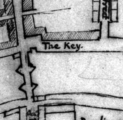
In 1884 workmen discovered a section of the moat filled with black mud and refuse, behind the ‘Golden Key’ grocery shop. This was in the land close to the shop, which leads up to the back of the Concrete Castle. .[1] Surveys of the Concrete Castle (Castle House) in Queen Street reveal a remarkable drop in its the rear cellar, presumably marking the drop of the moat’s northern bank, or at least the drop towards it.[2]
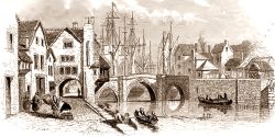
A deed dated 1714 remarks upon ‘a plot of ground over castle ditch’ which can be identified as the Fountain Inn on West Quay.[3] This might literally mean ‘on top of’ or might mean ‘overlooks’, meaning the moat either ran below the Fountain, or the adjoining property, Fisherman’s Wharf. Strachey’s map also reveals an inlet of the river, by the bridge, which presumably represents the mouth of the moat.

[1] Squibbs, P. J., Squibb’s History of Bridgwater, (Phillimore, Chichester, 1982) p.96
[2] Anon, ‘The Renaissance of Castle House’ at < http://www.savebritainsheritage.org/docs/articles/castle_house_panels.pdf> [Accessed 27th January 2011]
[3] Somerset Record Office D\B\bw/2226
