Locke’s Map of 1777 also showed where the northern moat split into two to become the western moat and the town ditch (the far left portion on the map below). The western ditch can be seen extending south. It was in existence in 1800 on the proposed designs for Castle Place, which can be found in the Blake Museum.

This moat was in 2002 by Leach’s excavation. The moat here was found to be further east than expected, although the western edge of it was revealed. However a very sharp rise in the current ground level covers the deepest part of the moat and indicates a considerable amount of post medieval earth movement and deposited material.[1]
In 1988 Croft’s excavations also discovered the edge of the moat and what appeared to be a large internal ditch, which may have been a robbed out wall foundation trench. [1] No part of the curtain wall has been found to have the same sort of foundation, implying that they were built over several phases. [2]

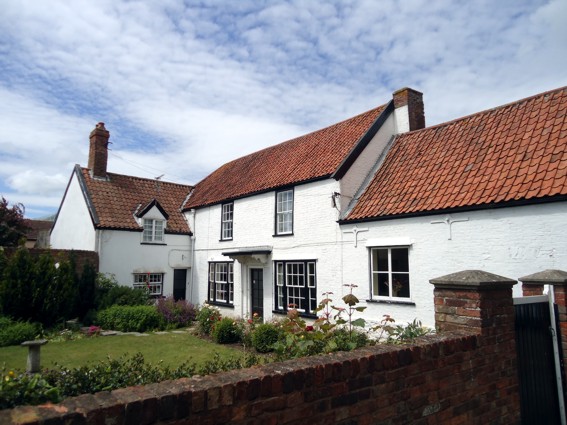
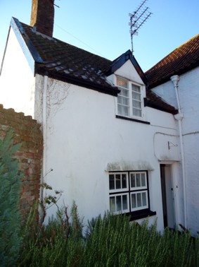
Also of interest here is the charming County Club building, an L shaped cottage. The oldest portion of this building is the small wing with the dormer windows, which is late medieval. The ground plan of this building respects the alignment of the moat and castle wall foundations found by croft and it is tempting to wonder whether this cottage was built while the castle wall was still standing.

[1] Leach, P., ‘Castle Moat, Bridgwater’ (2002) in the Somerset Historic Environment Record
[2] Croft, R., ‘Bridgwater, Castle Moat and King Square’ in The Proceedings of the Somerset Archaeological and Natural History Society vol 132 (1988) p.225. Also Plans in the Somerset Historic Environment Record HBC/01/08/P7/01 and 02
