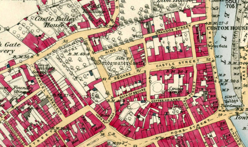
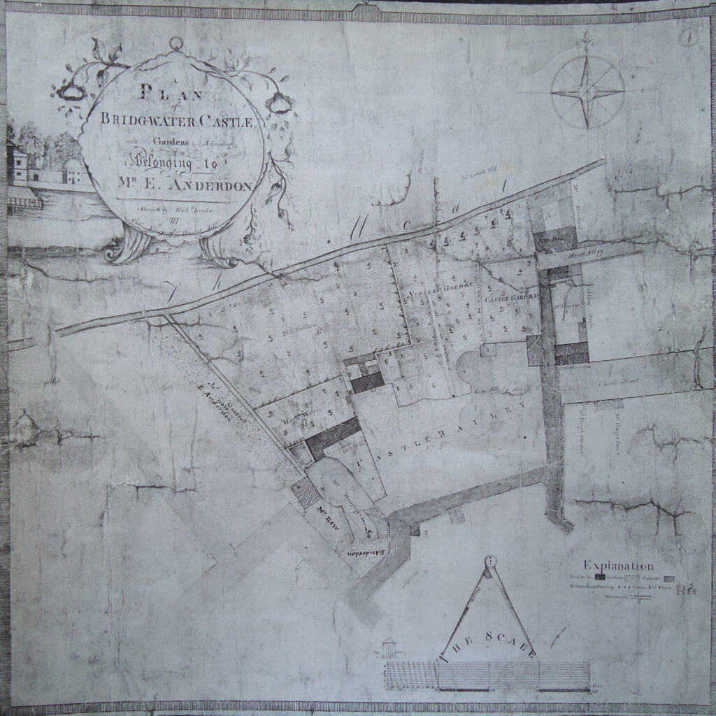
The north side of King Square seems to have been the location of another wall and well, apparently seperate from the main curtain wall running along the moat, already discussed. The Victorian historian Sydney Gardnor Jarman (1856-1949) suggested that there were two sections of castle wall running along King Square in chapter six of his History of Bridgwater.
…The last wall which stood was on the spot now occupied by the large house on the north-east corner of the Square, an it ultimately had to be removed as being dangerous.


Jarman also notes:
A few years since a portion of the roadway on the higher side of the Square suddenly gave way, and disclosed what was thought to be part of the foundations. An old spoon was the only relic which came to light. The stones taken from the ruins served to build portions of the walls of new premises, and in more than one instance parts of the ruins themselves were built in, in running up new structures… [1]
Here Jarman seems to be making reference to a report in the Somerset Archaeological Society proceedings of 1877, that ‘a portion of the roadway there fell in and a chasm was found, the opening, it was believed, of a well belonging to the castle, which was thus shown to be of very large dimensions’. [2]
[1] Jarman, S. J., A History of Bridgwater, (Elliot Stock, London, 1889) p.29
[2] Parker, G., ‘Bridgwater Castle’ in The Proceedings of the Somerset Archaeological and Natural History Society (Vol 23, 1877) p.35
