Compiled by Tony Woolrich, Brian Smedley and MKP, June 2021
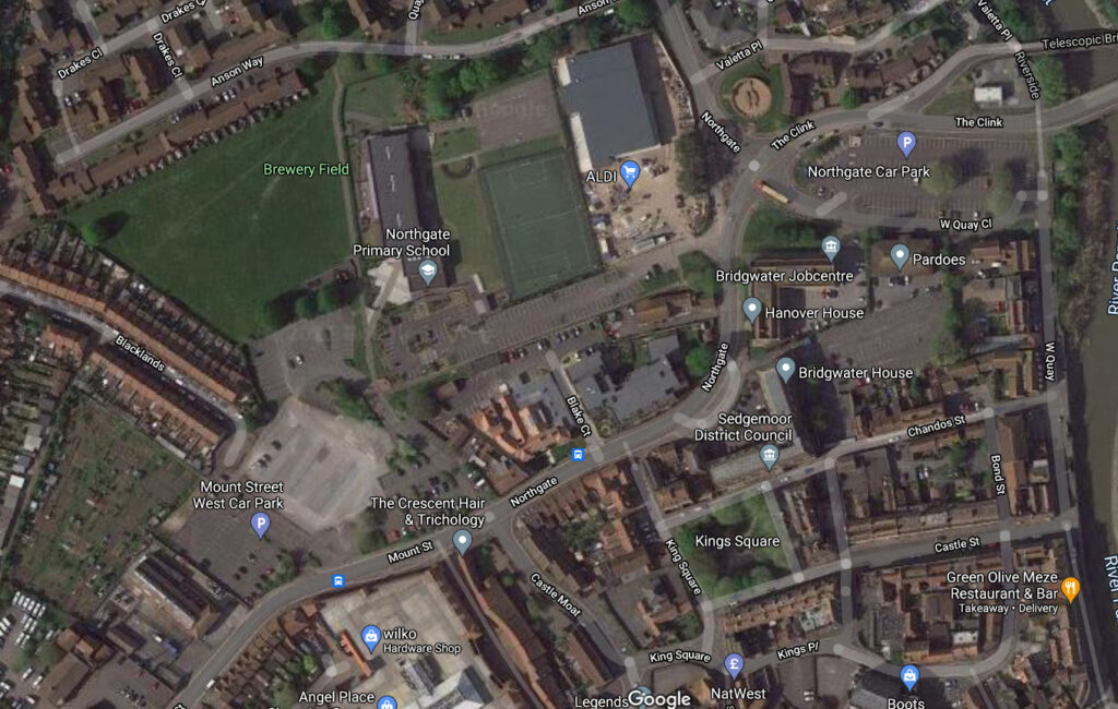
c.2nd to 4th century AD: ‘Blacklands’ Possible Romano-British Settlement
The name ‘Blakelond’ is first recorded in a document of 18 November 1325. Archaeologists have noted a striking correlation between medieval fields called ‘Blacklands’ and previous archaeological settlement in them, especially Roman. 4th century coins have been found nearby at Coleridge Square, Lyndale Avenue, Kendale Road and Berrydale Avenue. Older 2nd century coins have also been found at Kendale Road. See here for more infomation.
Sometime Before 1200: The River Road
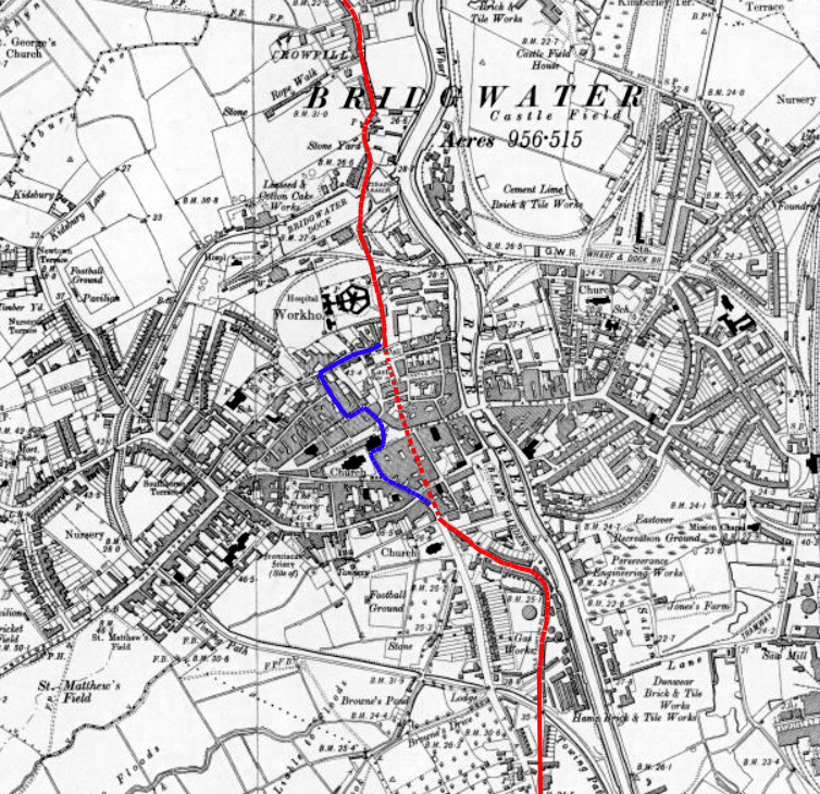
At an unknowable time a trackway running parallel to the river formed, now partially traced by Chilton Street and ‘Northgate’ and presumably joining up with Old Taunton Road at the South Gate.
1200: The Castle and Bridgwater
What is now Northgate/Chilton Street seems to have been rudely diverted come 1200 and the establishment of Bridgwater Castle, which caused a sharp bend to be formed, redirecting traffic towards the north gate of the town – a good opportunity for Briewere to show off his grand design – although there was very little traffic coming from the north, there only being the hamlet of Crowpill, the village of Chilton Trinity and parts of the parish of Wembdon in that direction.

1200-50: Bridgwater’s North Gate
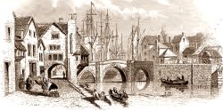
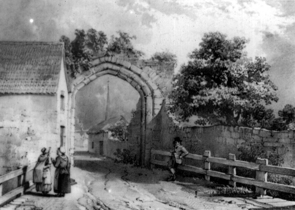
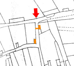
Not long after the town formed in 1200, defences were laid out in the form of the town ditch and four sturdy gates. These were as much for show as defence, as the town soon expanded beyond them. The first mention of the North Gate seems to come in 1352, when what is now called Angel Crescent was first mentioned.
By 1305: Suburbs
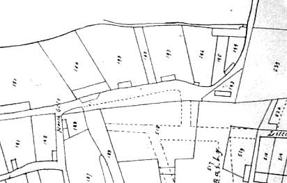
Documents dated September 1305 record properties situated outside the North Gate, which seem akin to the medieval suburbs of West Street or Monmouth Street. The area is largely open by the time the area was first mapped in 1735, meaning this suburb declined at some point – possibly levelled during the Civil Wars of the 1640s, when clear lines of fire meant any properties outwith the town’s defences were pulled down, and then never rebuilt.
1645: The Mount
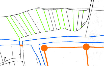
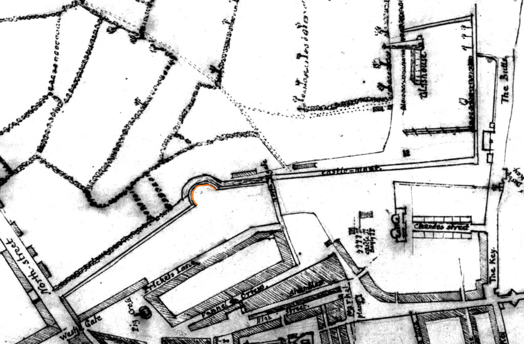
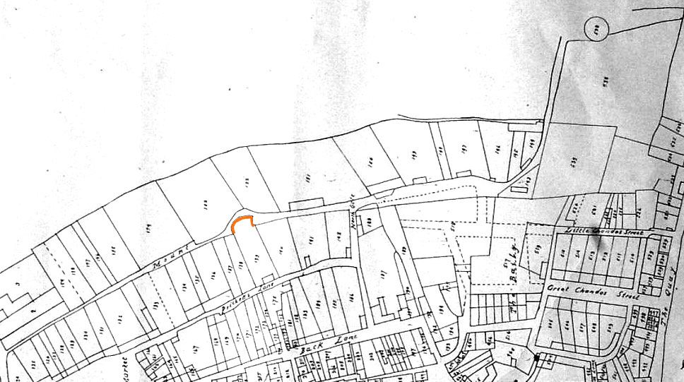
During the Civil Wars between King Charles I and Parliament, Bridgwater was heavily fortified along its permitter with great earthen fortifications and the old medieval ditches re-dug and strengthened. The north side of the town was defended by ‘the Mount’ a great artillery platform.
1726: Chandos Glass Cone
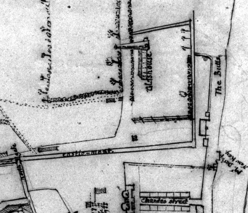
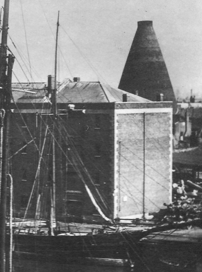
The Chandos Glass Cone in Bridgwater, was built in 1725 as a kiln for a glassworks. It was located between Northgate road and the river. The remains have been scheduled as an ancient monument.
The cone was 33 metres high and 75 feet across at the base, however the surviving portion is only 2.4 metres (7 ft 10 in) high. The cone tapered into a bottle shape which was much narrower at the top than at the base to provide a natural draft through the structure.
The cone was constructed by James Brydges, 1st Duke of Chandos as part of an industrial development close to the River Parrett, which enabled the transport of raw materials from his other enterprises at Stourbridge, (Worcestershire). Local sand was used. The cone was in use for glassmaking for but a short time. The business struggled almost from the start and was mismanaged by the Duke’s local agents, who were declared bankrupt in 1728. Glass-making ceased in 1734 and then, after several years in which the cone was used as an iron foundry, it became a pottery works with three kilns installed within the cone. Between 1827 and 1939 bricks and tiles were produced in addition to pottery. In the 1870s a railway siding was built between the railway to the docks, and the pottery. The site was gradually extended south towards King Square, to include a timber yard.
1798: Demolition of the North Gate
The ruins recorded by John Chubb were demolished and the stones broken up to use in road repair.
1816: Angel Crescent
The fine regency terrace of Angel Crescent is built. This takes it name from the Angel Inn on High Street, which backed on to Clare Street at the top of Angel Crescent.
By 1824: The Courts
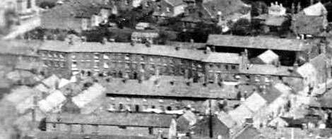
On the 1824 Water Supply Plan we see the Northgate Courts for the first time. These properties were in the form of small blocks of cottages, sometimes laid out in the form of an enclosed court whose entry was by way of a passage from a nearby road. There were no gardens and individual houses lacked a water supply and piped drains. They were built as speculative ventures for letting by local builders or other small tradesmen and were usually named after the owner. The inhabitants were mostly employed at casual labour on the docks and in the brickyards, and in consequence highly susceptible to the variations in the market with periods of employment punctuated by spells of poverty.
Some idea of the conditions can be gleaned from this extract from an article in the Bridgwater Times of 6 January 1848, by “The Inquirer” (probably John Bowen), who was investigating the horrific way St Mary’s churchyard was run. He described the rank of cottages abutting the southern gateway. Doubtless the Northgate courts would have told a similar story: “… In the next house I visited live a man and his wife and six children. It contains one room and a small pantry on the ground floor; upstairs there are what are called two bedrooms, the landing of the stairs forming one of them. The room downstairs measured about ten feet by fifteen feet; the pantry is about four feet deep – the two bedrooms are over the lower room. In one of them sleep the eldest daughter who has left her service through ill health and who is about twenty-two years of age – her brother, about sixteen years of age and four other children; in the other the father and mother. The pantry is close to the churchyard and instead of a window has an aperture of about eighteen inches square stuffed up with hay. There is no privy to this house and no water on the premises. …“
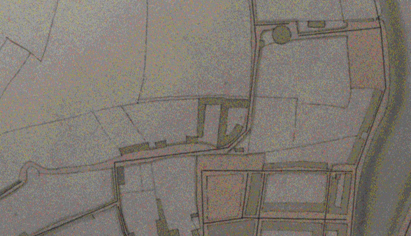
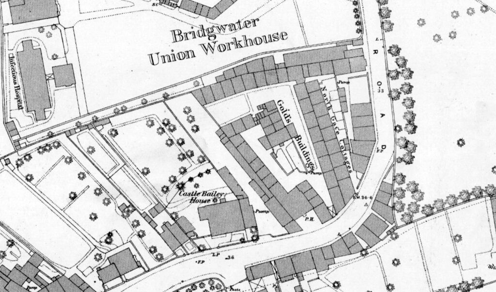
From the 1871 census we learn the names of the various sets of buildings. Immediately next to the Workhouse (along the small lane) were Culverwell’s Buildings, which was divided between six households at the time. Next was Brimble’s Buildings, which consisted of nine households. Next was Gould’s Buildings, consisting of 29 households. Next was Prosser’s Buildings, divided between 10 households. Next was a property facing the street, then a pub, run by John Biffen, the Mariner’s Arms. Next was a butcher’s shop.
The courts appear in the c.1930 Maps and aerial photography. However, save for a few buildings, including the Mariners Arms, the courts had been demolished by the time of the 1946 RAF photographic survey.
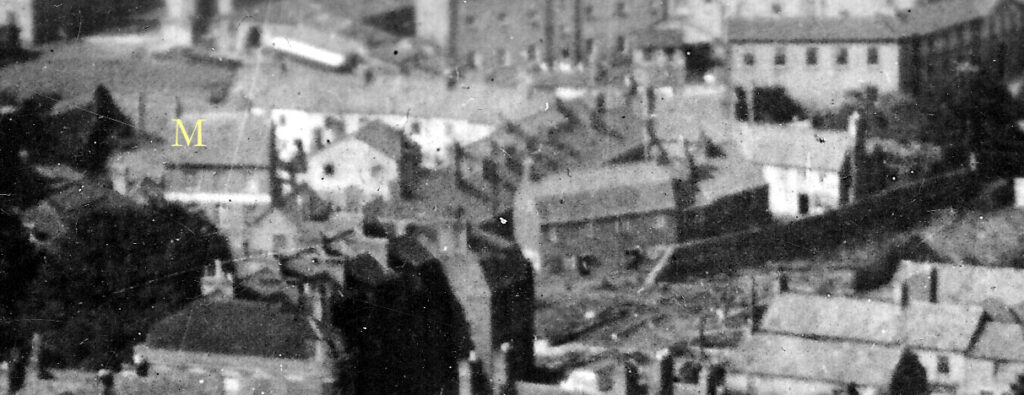
Properties at the bend in Northgate Road on the river side were all demolished sometime between 1904 and 1930, for King Square timber yard.
1836: The Union Workhouse
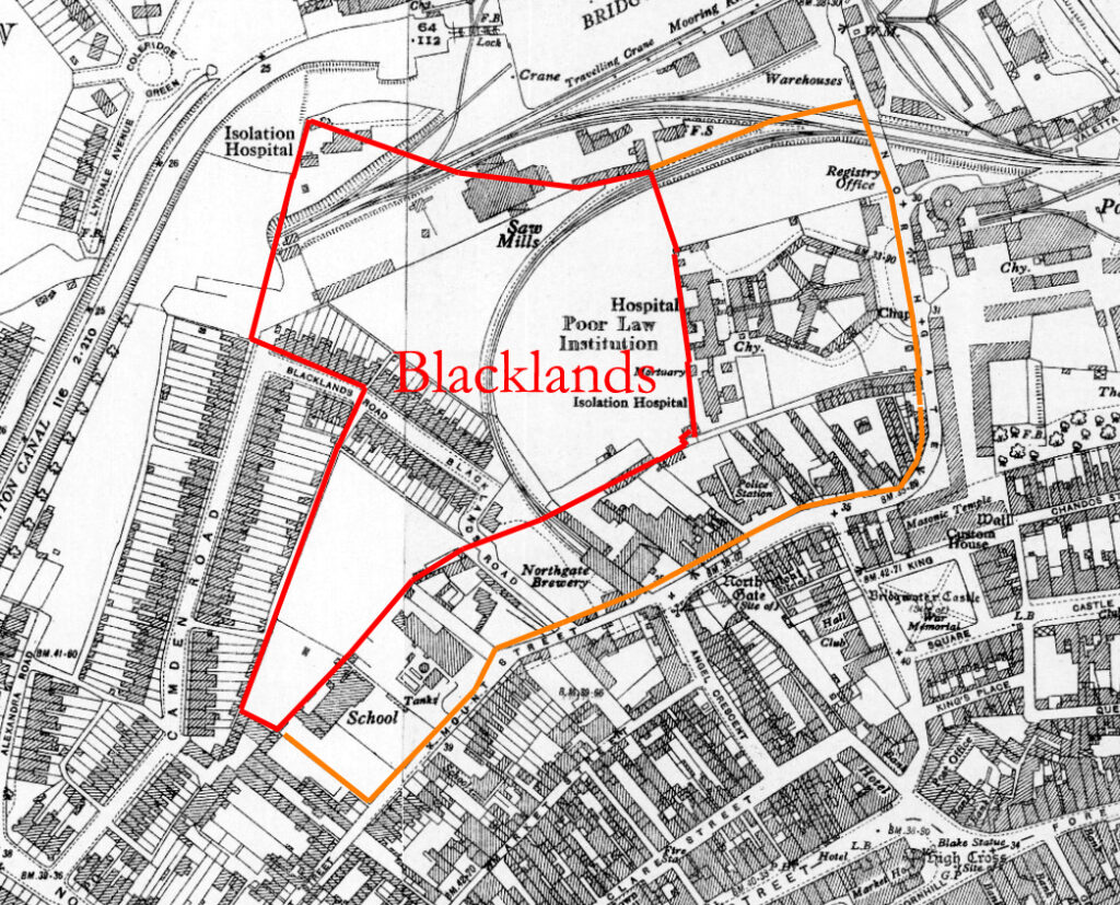
A panopticon hexagonal workhouse is built for the Bridgwater Union, a place for the poor of the borough, designed deliberately uninviting, so that anyone capable of coping outside them would choose not to be in one. The buildings bounding the hexagon were various workshops and stores, and the spaces in between were divided by high walls so the sexes should not mix. This was a notorious and unpleasant place, receiving the poor and infirm from the wider district, many of whom would be here for years, many ultimately dying here. Read more here.
John Bowen described the first years of the workhouse in his pamphlet: The Union Work-House and Board of Guardians System, 1842. He began by commenting on the severe outbreak of dysentery in the Southgate poorhouse, due to overcrowding, while Northgate workhouse was built and went on to show that much sickness continued into the new building for some five years after the Bridgwater Union was created. Inmates suffered from dysentery, typhus, measles and various skin complaints, called then “Itch”. Deaths were common, of course. Northgate opened mid November 1837, and soon had more than 200 inmates, which number seems to have continued for the rest of the C19. Around 65% of the inmates then were under 16 years of age.

by 1837: The Mariners Arms
First recorded Landlord M. Dennis. Closed 1961.
1840: The Northgate Brewery
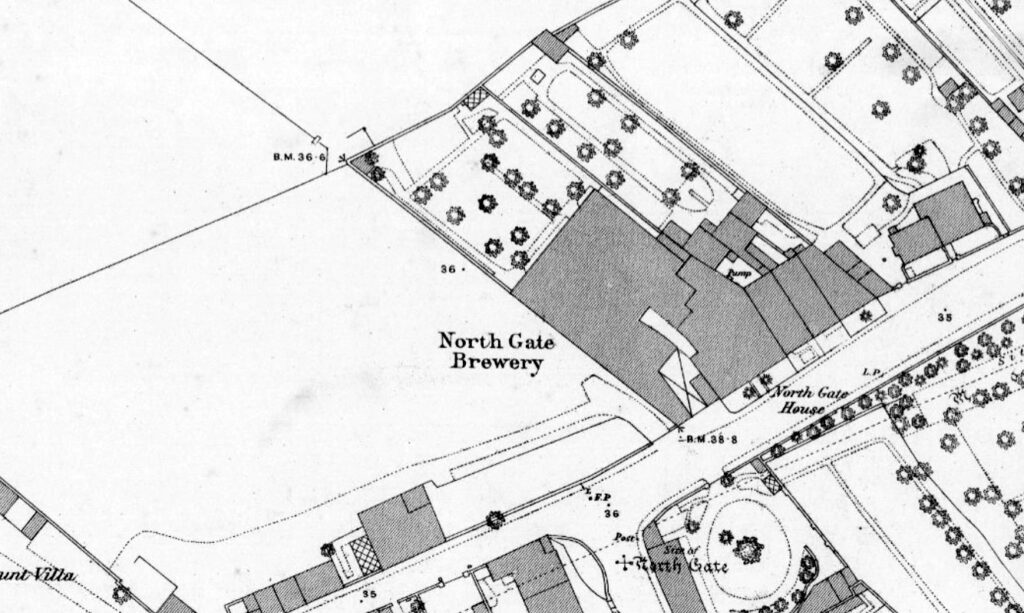
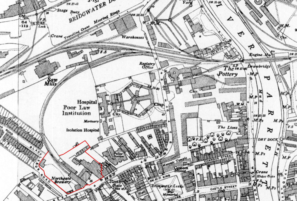
In 1840, George Knight a 38-year-old Maltster of Bridgwater, begin brewing himself. In 1885, George Knight died and his sons George (Junior) and Henry took over. It was at about this time that the famous Black Horse trademark appeared, beginning its life as a stag. Thomas Starkey a brewer of North Petherton turned his attention to Bridgwater and in November 1887, the two companies merged creating Starkey, Knight & Co. Ltd, with an estate of thirty pubs. They built in the 1890’s a state-of-the-art new brewery at Northgate in Bridgwater, which expanded Knight’s original brewery there. It comprised a tall brick building and loading bays, with a link to the docks branch of the railway. Starkey’s amalgamated with Whitbread in January 1960. and on Tuesday 4 February, 1964 Northgate Brewery closed down, and the building stood empty until finally demolished.

1849: Cholera Outbreak
On 5 November 1848 the Bridgwater Times reported on the town’s Cholera outbreak. The first case occurred in Bridgwater Workhouse on 5 August, another that terminated fatally on the 7th was followed by six deaths up to the 15th with cases then occurring in Eastover. By 2nd and 3rd September it had spread to Gold’s Buildings, and 8 deaths are recorded there up to the 19th with one more thereafter.
1911: The Magistrates’ Court
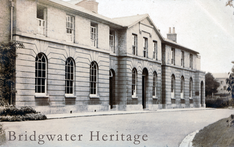
The Northgate Magistrates’ Court was built as a combined courthouse and police station. It was designed in 1911 by the Borough Surveyor’s Department, led by F. Parr. A commemorative stone is inscribed: “THIS STONE WAS LAID BY H.W. POLLARD ESQ. J.P. MAYOR OF BRIDGWATER AUGUST 3RD 1911”. Built in red brick in English bond with stone dressings, string course and cornice in a Neo-Baroque style. There were 2 courtrooms inside. The Court building, being of architectural significance, was saved from demolition at the time of the national sell-off of court buildings and was converted into residential flats.
19??: The Second Northgate Police Station
A two-storey police station of brick with pebble-dash treatment to first floor was opened next to the Magistrate’s Court.
1943: Demolition of the Chandos Glass Cone
The kiln was last used in 1939, and most of the structure was demolished in 1943, after the brickwork at the top of the cone had been found to have “spread”. The bricks from the demolished cone were reused in the construction of runways at RAF Merryfield and RAF Weston Zoyland. Some of the pottery and glass found during an excavation of the site in the 1970s is on display at the Blake Museum in Bridgwater.
The old police station and adjoining slum properties, including the Mariners’ Arms, were demolished for a new much larger police station. This was in use up to the 2010s, when it was in turn demolished and moved to the Express Park on the outskirts of the town.
1962: Bridgwater House
A new complex of offices for the Bridgwater Building Society was built over the old Timber Yard site, running from King Square along Northgate. These were taken over by Sedgemoor District Council in 1988.
1964: The Northgate Brewery Closes
Big H shaped building on the site soon after and before the Splash?
1966: The Third Northgate Police Station
Built over the site of Gold’s Buildings, the Mariners Arms and Castle Baillie House.
1976: Glass Cone Excavated – Workhouse Demolished – Enterprise Centre Begun
The ruins of the glass cone were then consolidated into their present state in 1985. Plans of the Enterprise Centre date to 27 May 1976, so this was presumably when the main building of the Workhouse was pulled down.
1988? The Clink
The construction of The Clink, in the late 1980s (date TBC) connected Northgate with the Bristol/Bath Roads junctions, crossing the Parrett by the new Chandos Bridge, which joined East and West Quays. The new bridge was funded by Sainsbury’s Supermarket, who would build a large store on the east side of the river. The easten end of the Clink was built over an old railway line, while on the west of the river it entered Northgate adjacent to the relic of the glass kiln, being built over the site of the old Pottery works. The nearby Telescopic Railway Bridge (the ‘Black Bridge’) had been converted to a footbridge in 1982.
1991: Sedgemoor Splash
The Splash was built in 1990-1991 and Diana, the Princess of Wales officially opened it on 16 April 1991. It included a number of features such as the rapids, a wave machine, twisting water slides, and various inflatables. Swimming lessons were given and even children’s birthday parties were held there. It replaced the Bridgwater Lido on Broadway, opened in 1960 by the Mayor, Alderman Mrs A. B. Potterton. The lido, which had three pools, a diving bay and paddling pool, but was demolished in the late 1980s to make way for a supermarket, and to fund the indoor Sedgemoor Splash swimming pool. While the much loved leisure centre was often refurbished, reduced council funds thanks to the global economic crisis meant the Splash, was earmarked for closure. Councillors agreed that the £700,000 annual upkeep was not money well spent and could not afford to invest millions to modernise Sedgemoor Splash.
The Splash closed in 2009 and was demolished immediately after. The space was then used as a car park. It is now earmarked for Northgate Yard. The marble plaque commemorating the opening is now in the Blake Museum.
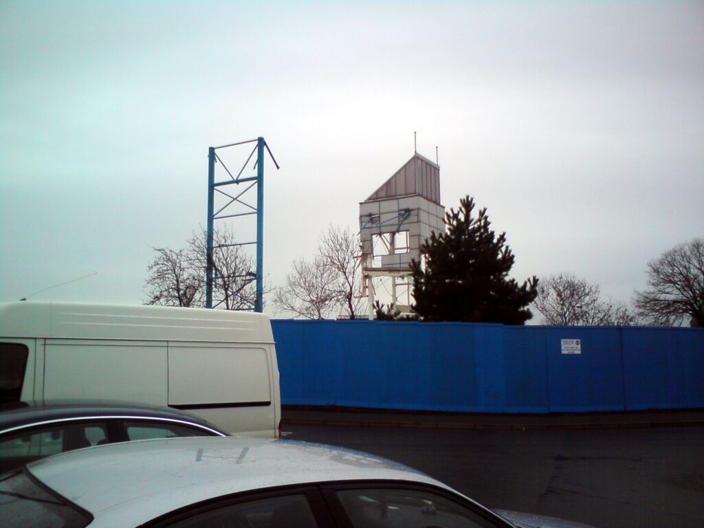
2009: Demolition of the Sedgemoor Splash
