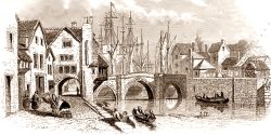
Following the Reform Act of 1832, in which rotten boroughs were abolished for parliamentary purposes, the Municipal Corporations Act of 1835 aimed to further establish a system of meritocracy and resolve the widespread corruption of local council members which was rife throughout Britain during this period. Over two hundred towns (of which Bridgwater was one) were investigated in order to produce a report which concluded that the corporations had become exclusive bodies with no community of interest with the town after which they were named and that due to contracts being given to family and friends of those in the corporation large avoidable debts had accrued whilst also noting that the number of electorates for the corporations were purposely kept small in order to achieve political advantages for a certain party.
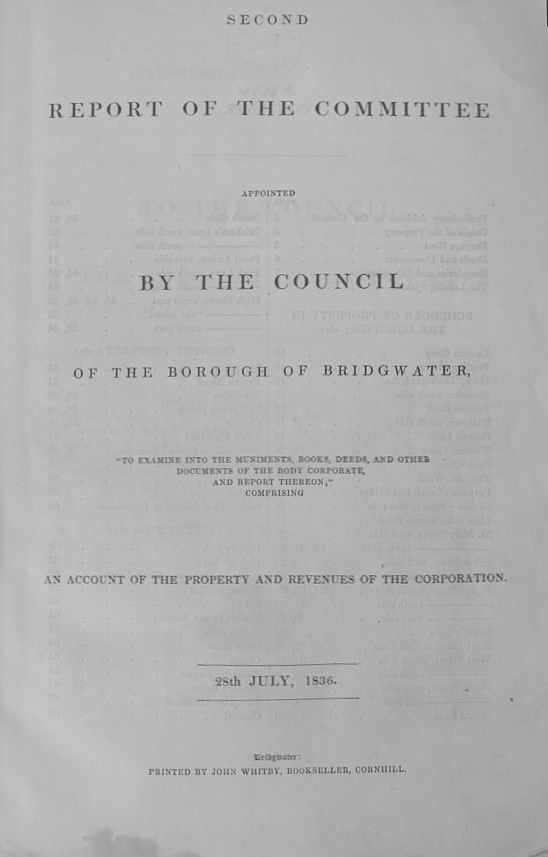
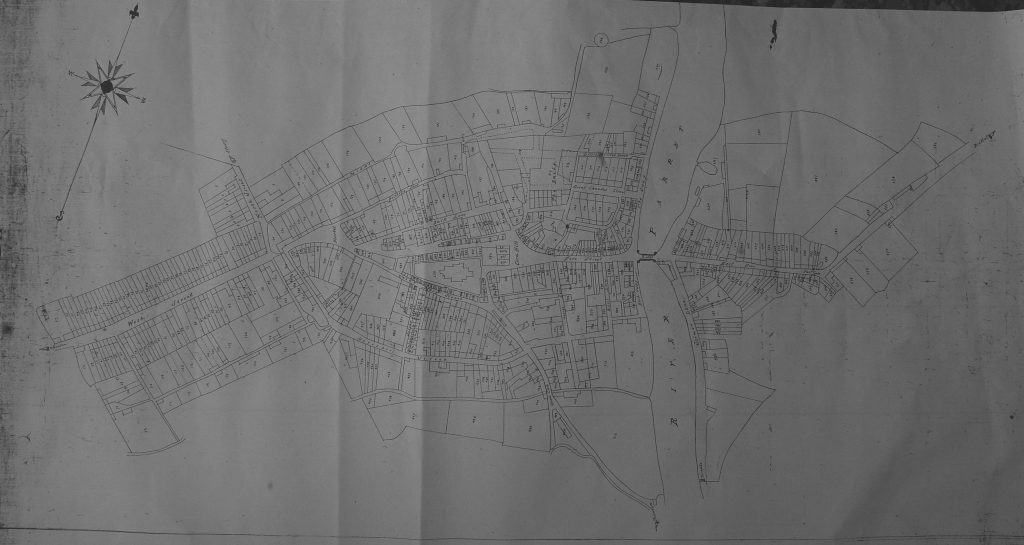
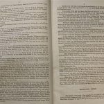
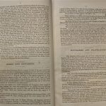
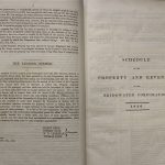
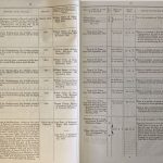
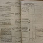
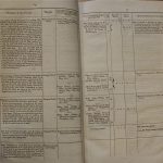
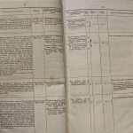
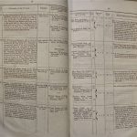
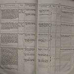
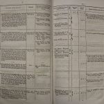
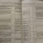
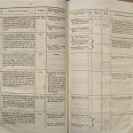
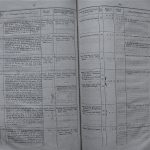
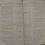
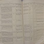
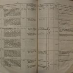
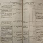
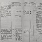
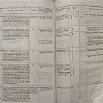
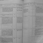
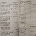
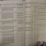
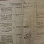
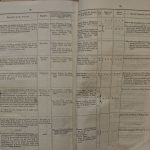
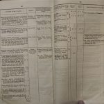
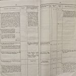
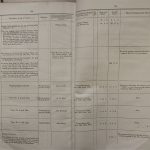
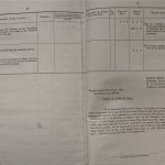
In Bridgwater a seventy page document was produced, listing details of every property owned by the Bridgwater Corporation, including information such as location, size, ownership and the amount of rent paid annually. According to this document the Corporation owned over 120 properties within the Bridgwater Parish as of 1836, of which forty were situated within the town centre. By focusing on such a specific area I was able to examine maps from different time periods in greater detail (one was found from 1834 which is suspected of accompanying the original report, another from 1886 and one from 2011) which then allowed me to see how the properties listed in the Report had changed over the forthcoming years.
Example pages:
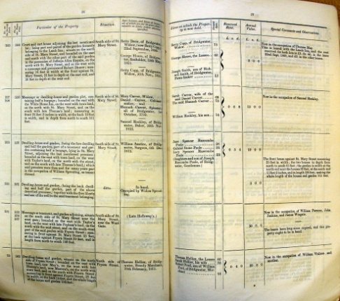
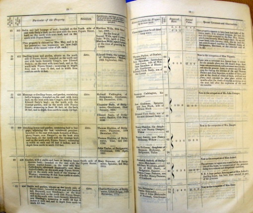
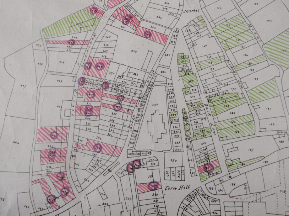
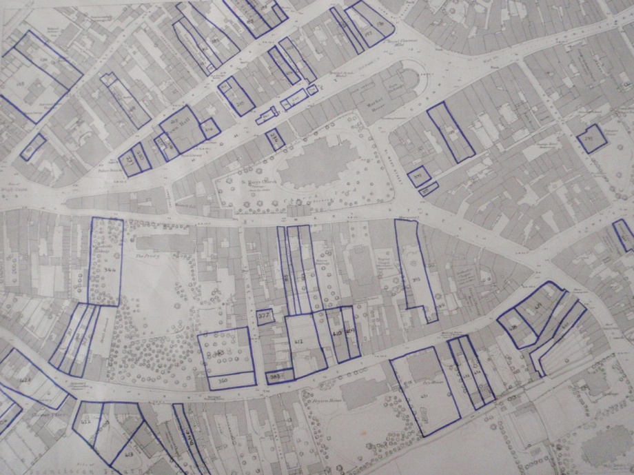
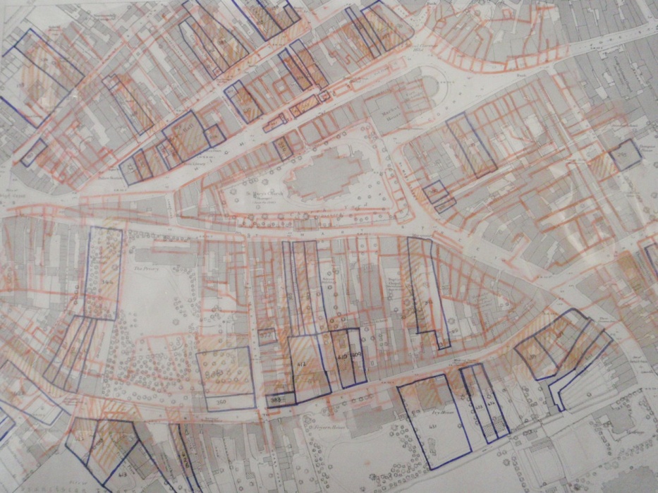
The properties are described as burgage rent plots, a common feature of 19th century land rental, refers to a tenement on a fixed tenure of land which, in turn was under a fixed rental charge. The aim was to see whether some of the original land boundaries remained, despite constant revisions to the area throughout the years. To do this, I overlaid the original 1834 Tithe Map (although titled as such, we are certain it is actually a Burgage Rent Map) over the later 1886 Map which then allowed us to see that most of the plots had remained virtually unchanged over a 52 year time period. From this, I was then able to photograph the areas which remain to this day. Despite this, there were some obvious problems. Firstly, the Tithe Map was drawn rather quickly so had some recognizable inaccuracies; for instance Friarn Street was named Horsepool Lane when, in reality, this refers to the lane adjoining the aforementioned Friarn Street and used a scale of chains and furlongs whereas the later 1886 map used links and feet. Therefore we estimate that there is a 10% scaling error which accounts for some of the sizing issues (the 1834 Tithe Map is slightly smaller than the 1886 Map).
1834 Tithe/Burgage Rent Map (highlighted areas show properties owned by the Corporation):
1886 Map (highlighted areas showing properties owned by the Corporation in 1834):
The two maps overlaid:
In addition, there seems to be an inaccuracy in the original report concerning the measurements. Property 410 in the report (now no. 32 Friarn Street) is described as measuring in front 26 feet, at the back 26 feet and in depth from north to south 112 feet yet in reality, although we found the frontage did indeed measure 26 feet, the back measured 28 feet 6 inches and the depth from north to south measured 119 feet. From this, we were able to surmise that there was also around a 10% measurement error which also may account for the inaccuracies evident on the maps.
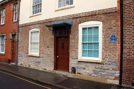
There was also a problem which arose from the photography aspect. A number of the areas which were found to be original are now inaccessible from either the public as a whole or due to modern constructions surrounding the structure. As a result, the plots were still photographed regardless of whether the property which now exists there is dramatically different.
Despite this, we managed to identify where the boundaries originally stood. For ease, these properties have been divided into two rough categories. The first category is those which seem as though they have remained virtually unchanged since the 1835 Municipal Corporations Act report, while the third category are the plots of land which are unrecognisable to those in the 1835 report. Also, the properties are identified using the three number digit first used on the original map, and are linked to pictures of what the plots look like currently, along with the descriptions originally listed in the Report.
Those in the first category are properties 196-97, 199, 204, 210,211, 214, 215, 216, 217, 234, 295, 321, 385, 387, 393, 409, 410, 413, 425, 431, 433-34, and 441. The majority of these are situated in the High Street and around the Friarn Street area and although they may have changed use, the buildings themselves seem to be the same size and shape as those described in the original report. In some cases, the buildings are still known by their original name, such as Ivy House (plot 431), Holmes Buildings (plots 385 and 387) and Dampiet House (plot 295). In the case of Dampiet House, even the porch around the property which exists now is detailed in the 1886 map.
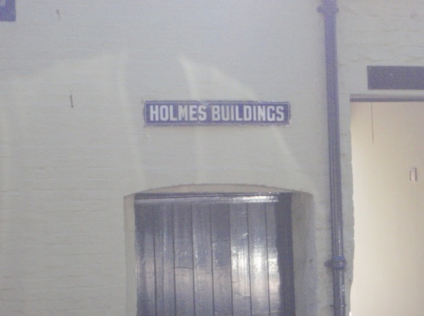
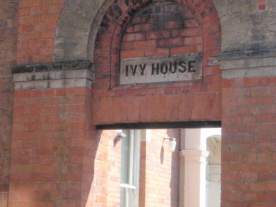
The third category includes properties 103-04, 133-134, 160, 169, 180-83, 185-86, 203, 220-21, 241-42, 244-46, 308-09, 344, 369, 377, 383, 412, 413 and 422. The main reason why these properties no longer exist is due to modernisation and the process of widening/making roads. For instance, properties 241-42 and 244-46 were part of the flesh shambles, a row of houses in the centre of the modern day High Street which were eventually demolished in order to widen the High Street when cars became increasingly used. Also, plots 180-183 and 185-186 now make up the Angel Place Shopping Centre, so were demolished in 1986 (or perhaps earlier) during its construction.
From examining the document alone, a large amount of information could be gathered. For instance, a huge number of properties seemed to be in the ownership of very few members of the Bridgwater Corporation, hence proving the overall countrywide conclusion of the report, that too much power rested in the hands of too few individuals, to be true. Jeffreys Allen (MP for Bridgwater May 1796-June 1804), for example, owned seven Corporation properties around Bridgwater, while Edward Sealy Esq, (1778-1864) who was Justice of the Peace for the County, owned five properties. Alternatively, some individuals seemed to have gained power (and perhaps avoided the brand of corruption) by gaining property under the family surnames. For example, the Hawkins family owned six Corporation properties in Bridgwater while the Sealy brothers (the aforementioned Edward Sealy along with his brother John) owned eight properties cumulatively.
The Sealy family has also inspired further interest in this project. Edward Sealy’s son seemed to inexplicably change his name from Edward Urch Sealy to Edward Urch Vidal around 1842 when he became barrister-at-law, Middle Temple and seems to have retained the adopted Vidal until his death. His offspring however seem to be known by various combinations of the Sealy/Vidal/Vidal-Sealy/Sealy-Vidal surname until one son Robert Walpole Sealy Vidal reverts simply to Sealy in 1892. Further research indicated that the surname Vidal was held in high regard in Devon where the family eventually seems to have settled and traditionally was descended from the tenants of land in Devon held by the Vitalis of Bernay. Although it is impossible to know for sure why Edward Urch Sealy decided to change his name, this evidence seems to show that it was part of an attempt to climb socially. This social standing is further evidenced by the fact that as the Sealy family continued to gain power and wealth, they increasingly distanced themselves from the town of Bridgwater.
Finally, it is important to note that while there are certainly properties in the Bridgwater area older/as old as those detailed above, they did not belong to the Bridgwater Corporation and as a result, do not appear in the 1836 Report. As a consequence they have not been researched for this project.
Dr Peter Cattermole & Leah Sidebotham 26 August 2011.
Resources
Map
Report





Also see:
