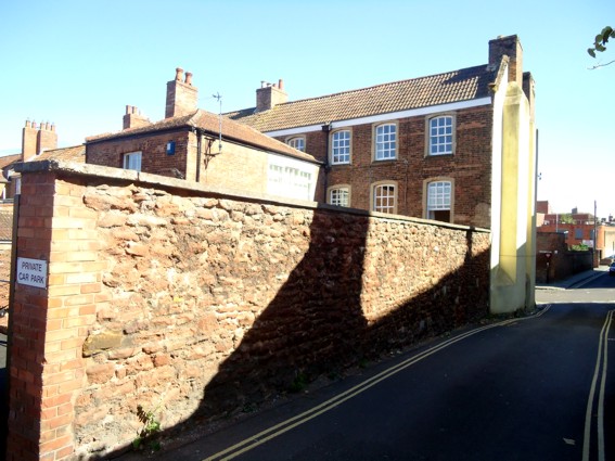
While workers dug up Crowpill Lane for services they found the footings of a Ham stone fireplace as well as medieval and eighteenth century pottery. The Somerset HER record describes:
A post office trench dug in 1969 revealed the remains of a Ham stone fireplace as well as medieval and C18 pottery sherds and oyster shells. The finds were made approximately 56-60ft north of 16 Castle Street in the land between there and Chandos Street.[1]
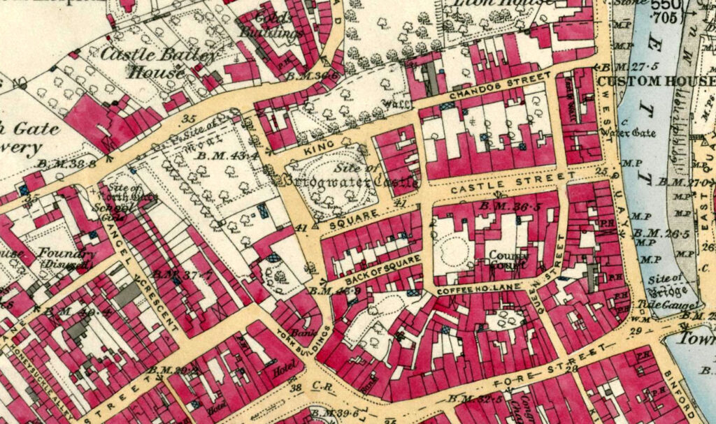
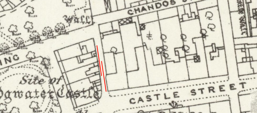
Crowpill lane is shown on the Locke map of 1777. Remains of any building below it, if nothing else, indicate that the road is probably post-medieval and not part of the medieval castle. In 1971 a further discovery of a ‘substantial wall of blue lias and Hamstone’ in Crowpill Lane was also made. This may be the wall of the Castle Garden as seen in the plan below, but this in turn may have been a more substantial part of the castle defences.
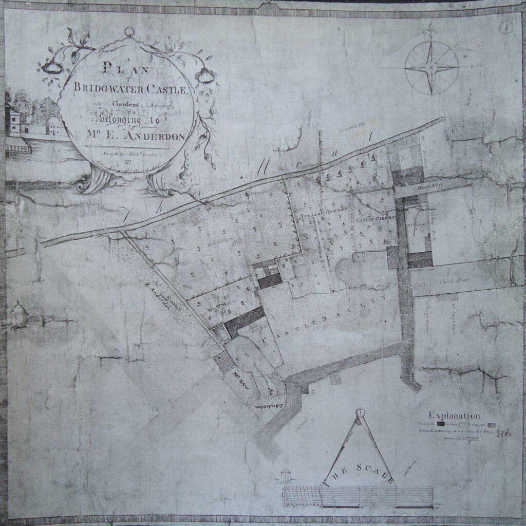
[1] Place, ‘Castle Street, Bridgwater,’ in the Somerset Historic Environment Record p.42
