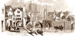
The first mention of buildings built ‘on’ or ‘at’ the bridge comes on 25 November 1375, when the receiver of the town (the treasurer for wont of a better word) mentions ‘domus super pontem’, a house upon the bridge (Borough Archives 1, no.297). This probably doesn’t mean literally on top of the bridge (although that was often a feature of medieval bridges), but rather meaning something like ‘attached to’ or at the side of the bridge.
In 1400, the town’s bailiff records the loss of rent on a house above the shops at the ‘bridge end’ (Bridgwater Borough Archives 3, no.502); in the 1440s the town’s bailiff recorded mention of rent received on a ‘foyd hows upon the Brigge’, probably meaning a fore-house on the bridge (Borough Archives 4, no.729). In 1449 the bailiff recorded income from a tenement on the east side of the great bridge, although two more tenements in the same location lay empty. (Borough Archives 4, no.757). Similar accounts of tenements ‘upon the bridge’ can be found through these documents, although usually ambigious in their exact location.
There seem to have been houses adjoining all four corners of the medieval bridge, two sets on the east, one on the west over an arch (recorded by John Chubb) and another on the north west, mention in the 1480s, squeezed between the riverbank on its east side and the Castle Ditch on the west (Borough Archives 5, no 1013).
The first specific mention of the houses on the south-east side of the bridge seems to come on 30 September 1392, when the stewards of the town’s guild merchant leased to Roger Satre, a tailor, and his wife Alice, a tenement ‘situatum est ad orientalem finem pontis ville pred. in australi parte’: ‘it is situated towards the east end of the town’s bridge on the south side’. This is assuming that the tenement is on the south side of the bridge end, rather than the bridge-end being on the south side of the tenement, it is not overly clear, although we might assume the tenement being the subject for both locational pieces of information. Interestingly this lease excluded a shop below the solar, which was in the tenancy of a certain Alice Swopham (Borough Archives 2, no.458). This indicated that this building was partly divided between a shop on the ground floor and the rest, which included at least one room above.
A series of buildings are clearly shown in all three of John Chubb’s 1790s illustrations of the medieval bridge, which are shown here roughly in order of when they were drawn.
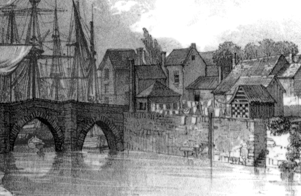
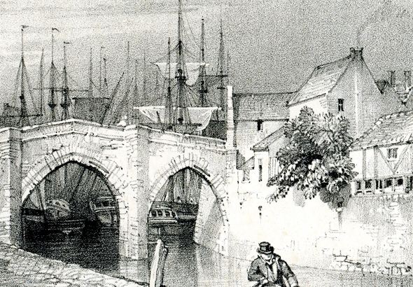
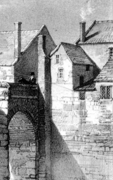
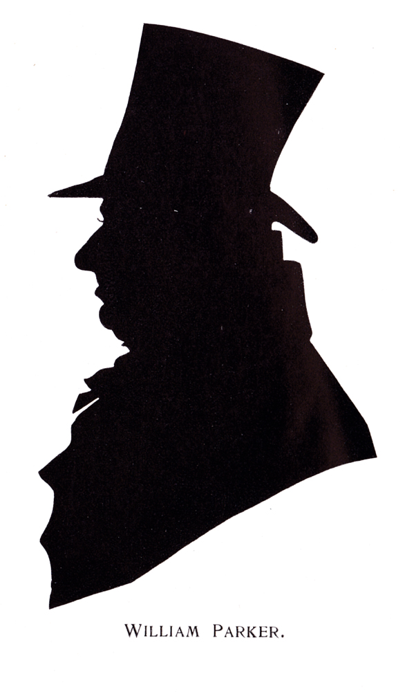
Wonderfully, a description of part of this complex of buildings survives in Margaret Thompson Sturge’s little book, Memories and Echoes of Bygone days (1904). In this she describes a relative of hers, William Parker (1759-1842), and a memory of her father’s (Francis James Thompson 1813-1897): William Parker, we are told, ‘settled at Bridgwater as a Felmonger, and supplied the firm of Cyrus and James Clark of Street, with skins for making the rugs. His house and yard were close to the old stone bridge over the Parrett, and nothing gave my father and his brother Charles [Thompson] more pleasure, when little boys, than to play in the skin yard of their great uncle, or fish with a long string and pin out of one of the windows of the house’. The Clark brothers of Streets were the founders of the famous shoe manufacturers. What seems to be washing in Chubb’s first illustration are perhaps the skins mentioned.
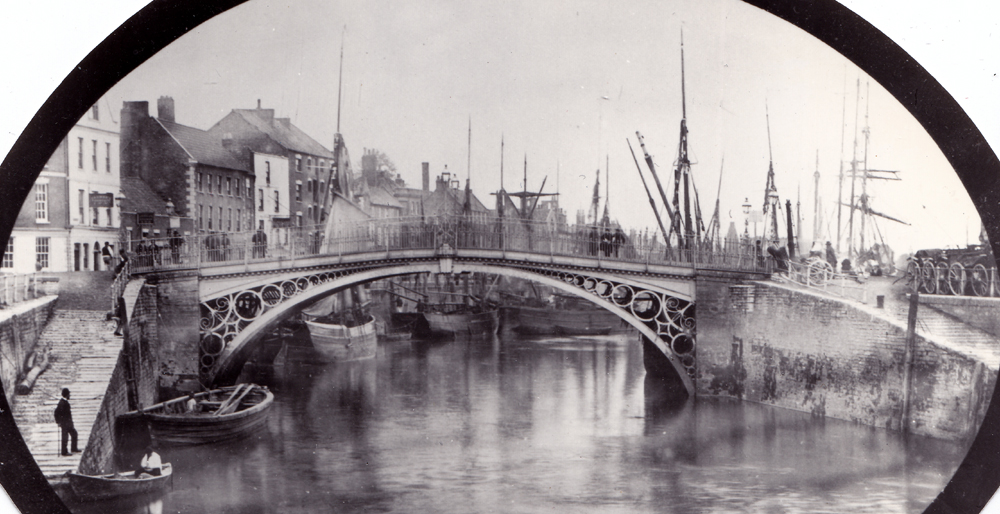
It is not clear if any of these buildings were demolished to widen the approach to the new iron bridge in 1795. The houses on the riverbank to the north of the road had been purchased and demolished for this purpose. The 1794 Act of Parliament describes four properties to be purchased as part of the construction of the new bridge:
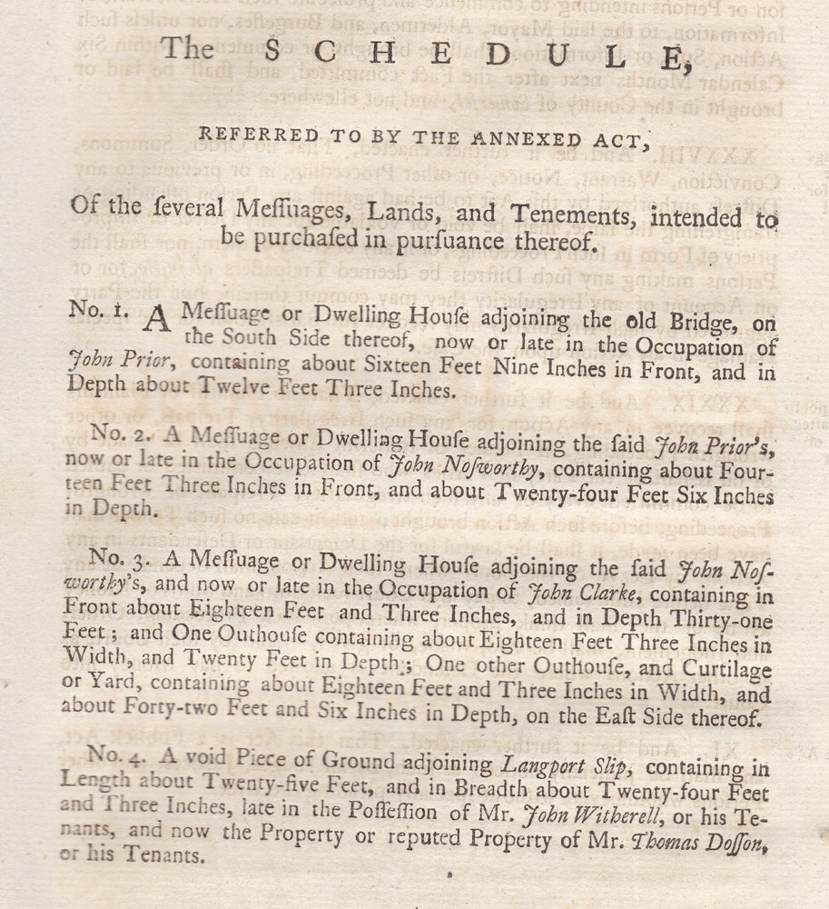
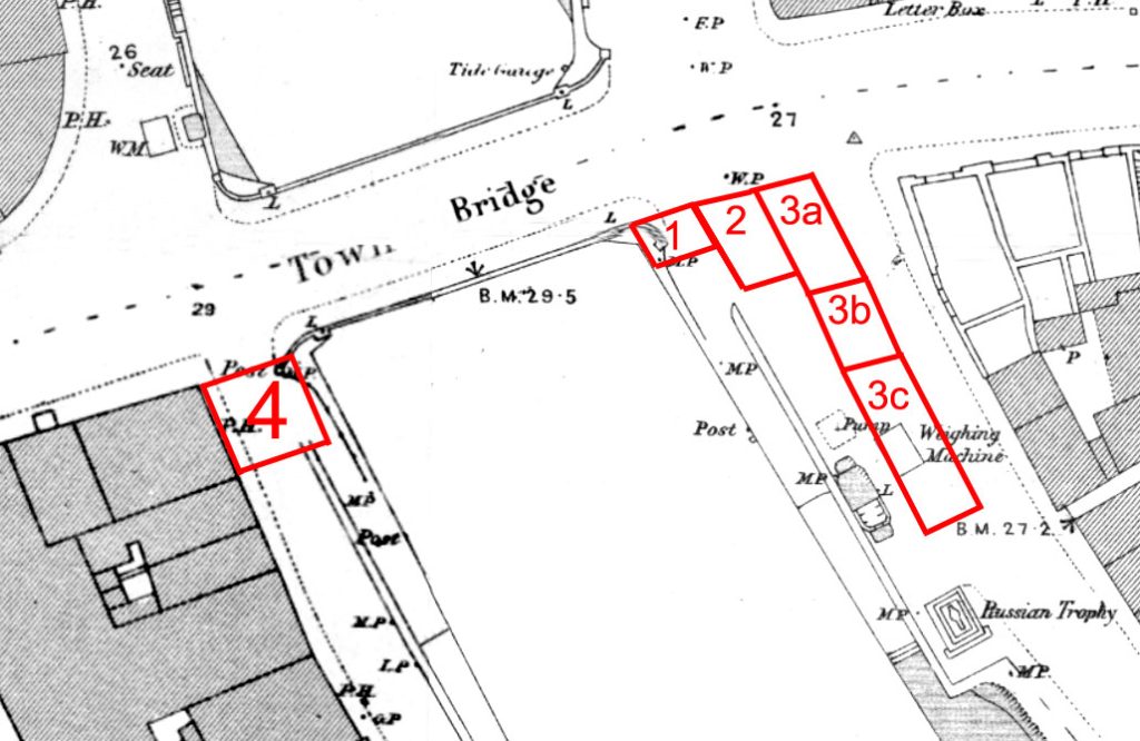
Using the 1887 OS Town Plan as the base, these properties can be plotted as follows:
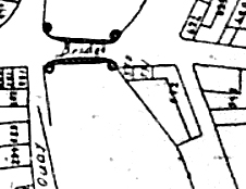
However, the Town Plan, dating to the first quarter of the nineteenth century, shows these properties still in existence. Indeed, these properties still appear in the 1824 Water Supply Map of the town. They no longer appear on the Thomas Clark and Robert Down map of 1853. They seem to be on the 1835 borough boundary map, although it is not certain.
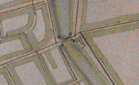
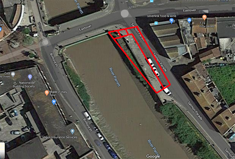
At the time of writing in April 2020, no documentary evidence for their purchase and demolition has yet been found. It seems most likely that they were removed in order to build a new barge slipway on the east side of the bridge, to carry more goods upriver. A possible context for this may have been the initial construction of the Bridgwater and Taunton Canal, which first terminated at Huntworth in 1827, before an extension round Bridgwater to the docks was built in 1837. It seems that the cluster of buildings were all demolished, then part of their site cut away for the slipway. Unfortunately, the creation of docks and canal extension probably rendered the addition slipway capacity redundant.
MKP 20 April 2020. Additions 20 July 2023.
