Historic Images


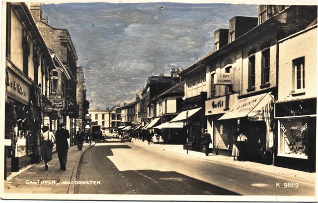
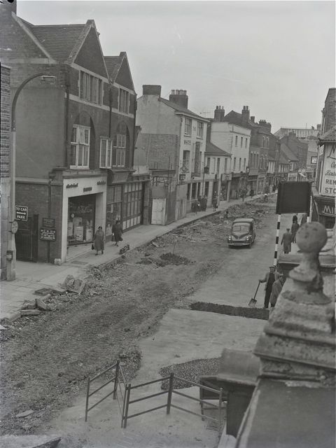

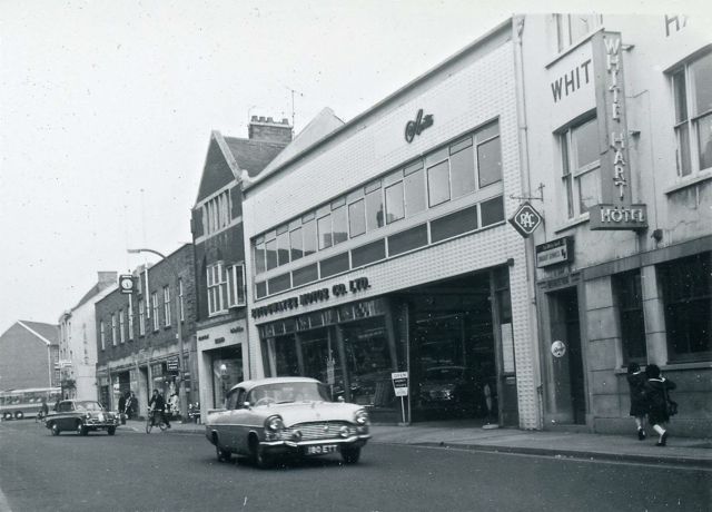
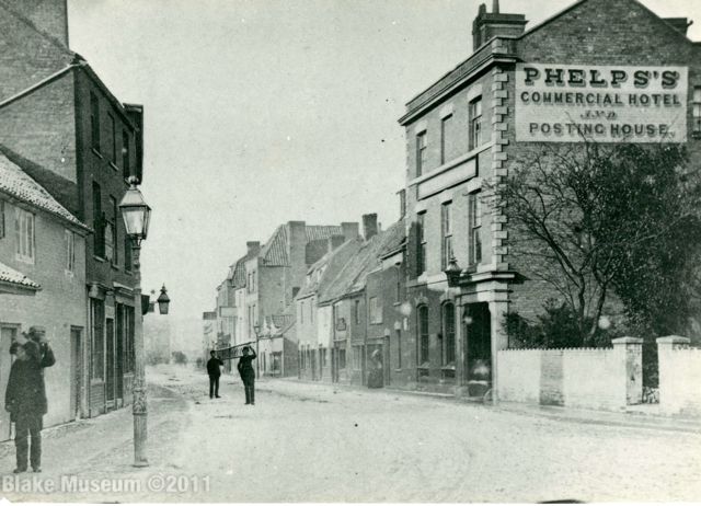
Building Survey October 2012 by Dr Cattermole

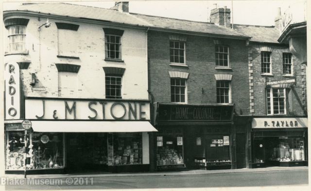
House and shop, Eastover south side. Rendered. Pantile roof behind parapet. Forward-facing sash windows witout horns, those on first floor are 6/6, above are 3/6. In poor structural condition and unoccupied. 
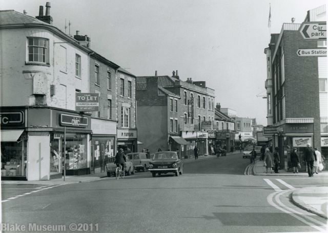
Eastover, south side. Modern shop, timber sash windows with thick astragals. In good condition externally. 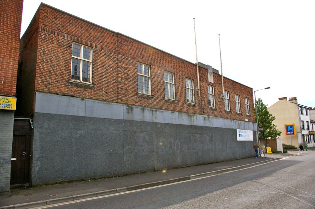
Eastover, south side, large shop. Staggered Flemish bond, parapet, metal window frames with leaded lights, central projecting section with two flagpoles. Merit 
House, now part of The White Hart, Eastover. Painted render under a oversailing roof with plain eaves. Casement windows with margin lights, some opening. On the ground floor, there is a symmetrical the light window divided by masonry uprights and containing small panes of glass. Flat stone doorcase. Merit 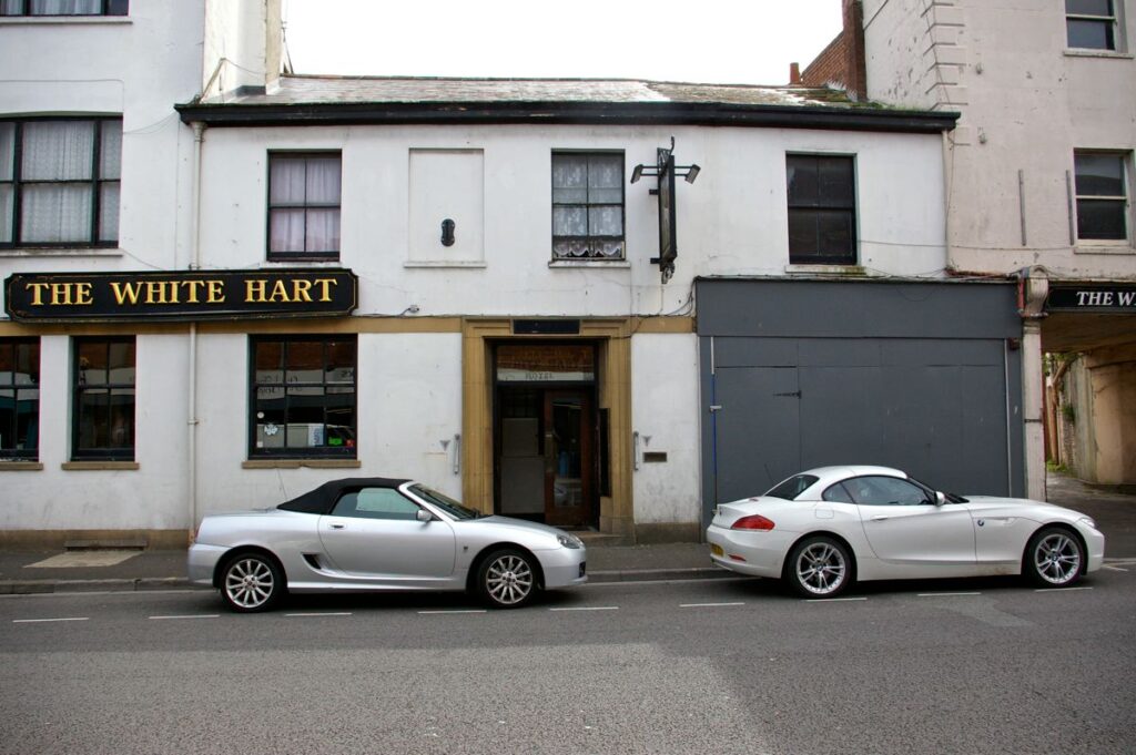
House, now part of The White Hart Hotel, Eastover. Asymetrical front with white painted render under a slate roof with parapet. Divided-light sash windows with blind window to left and above doorway. to right is a possible carriage opening, now shuttered up. Vegetation in gutter and on roof, the right hand section of which is in poor condition. Merit 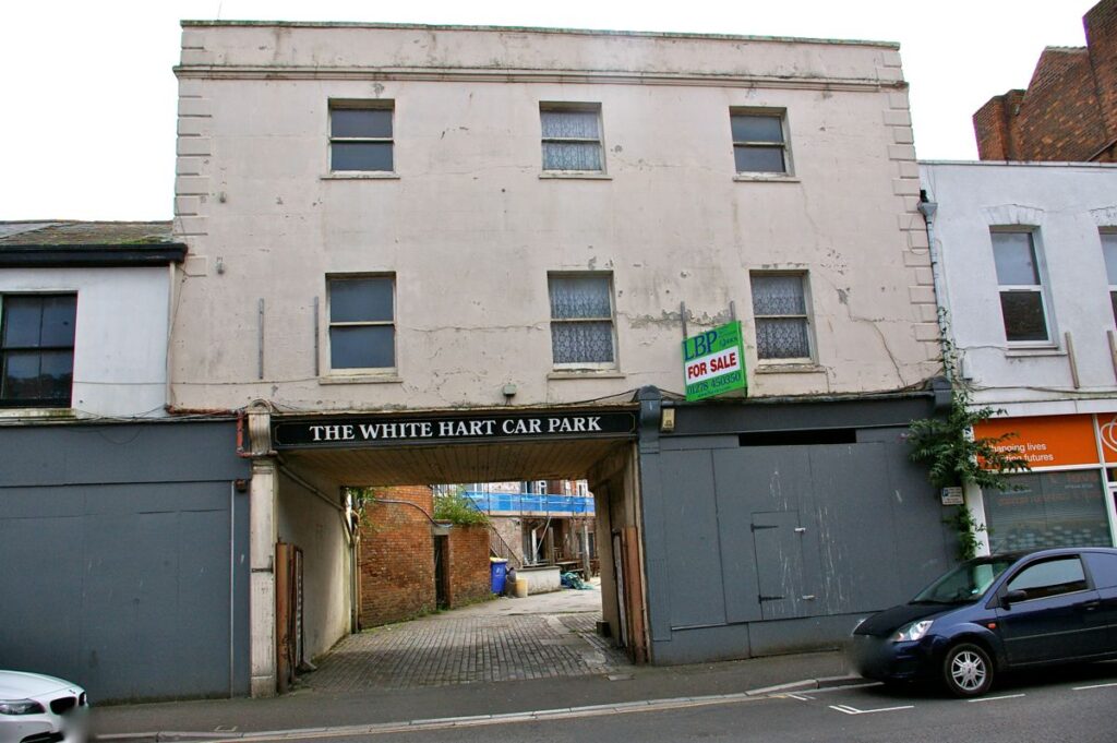
House, shop and accessway, Eastover. Painted render. Parapet and moulded cornice. Single pane sashes with horns symmetrically disposed. Quoins. On the ground floor to the left an accessway has been formed by inserting RSJs . To the right, two reaeded pilasters surmounted by reeded cornices form the shopfront, now boarded up. Vegetation growing to right over pavement. Merit 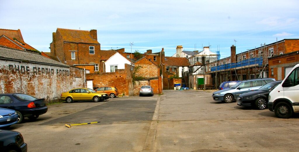
Rear of The White Hart Eastover 
Shop Eastover south side. Painted poor render over brick, parapet, shallow pantile roof. Stepped voussoirs over windows. Merit 
No 34 Eastover. Flemish bond brick, cornice & parapet. Stone bands along sill line. Curved hood moulds supported on 3 dentils cf Hooks, IMGP 0008. Merit 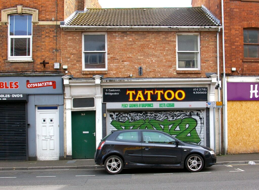
No 36 Eastover. Well-proportioned shopfront with doorcase to left with overlight. Merit 
Shop, formerly Hooks, Eastover. Flemish-bond smooth red brick. Projecting course at upper sill height. Divided lights to sash windows with segmented arches above. Merit 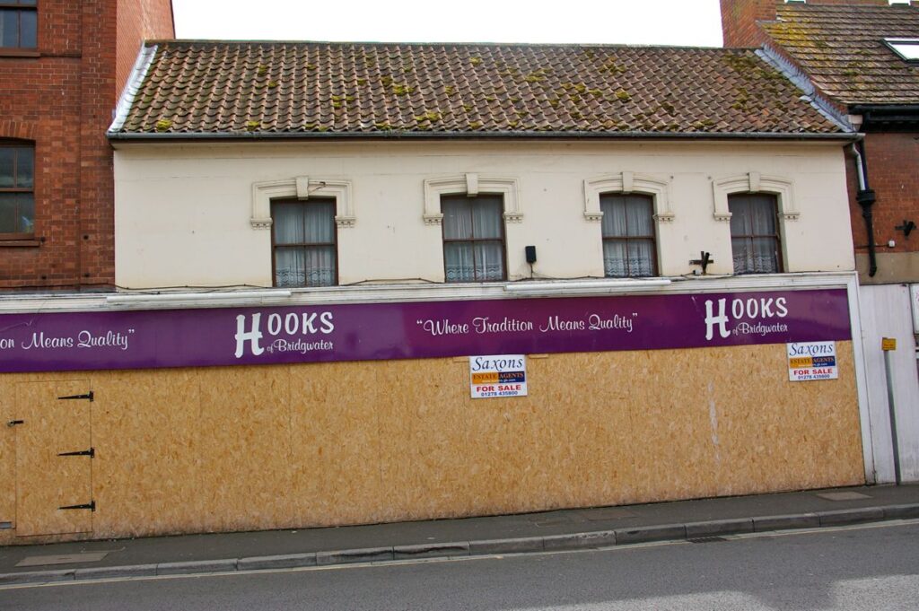
Eastover former Hooks. Hood moulds with dressed dentils c.f. No 34 Eastover IMGP 0005. Divided two light sash windows with horns. Merit 
No 26 Eastover. Staggered single Roman tiles, projecting eaves over two plain corbels. Merit 
No 24 Eastover. English bond brickwork. Four pilasters with plain caps. Moulded cornice in stone. Sill course in brick. Parapet. Carved corbel to shopfront on left. Probably late Victorian. Merit 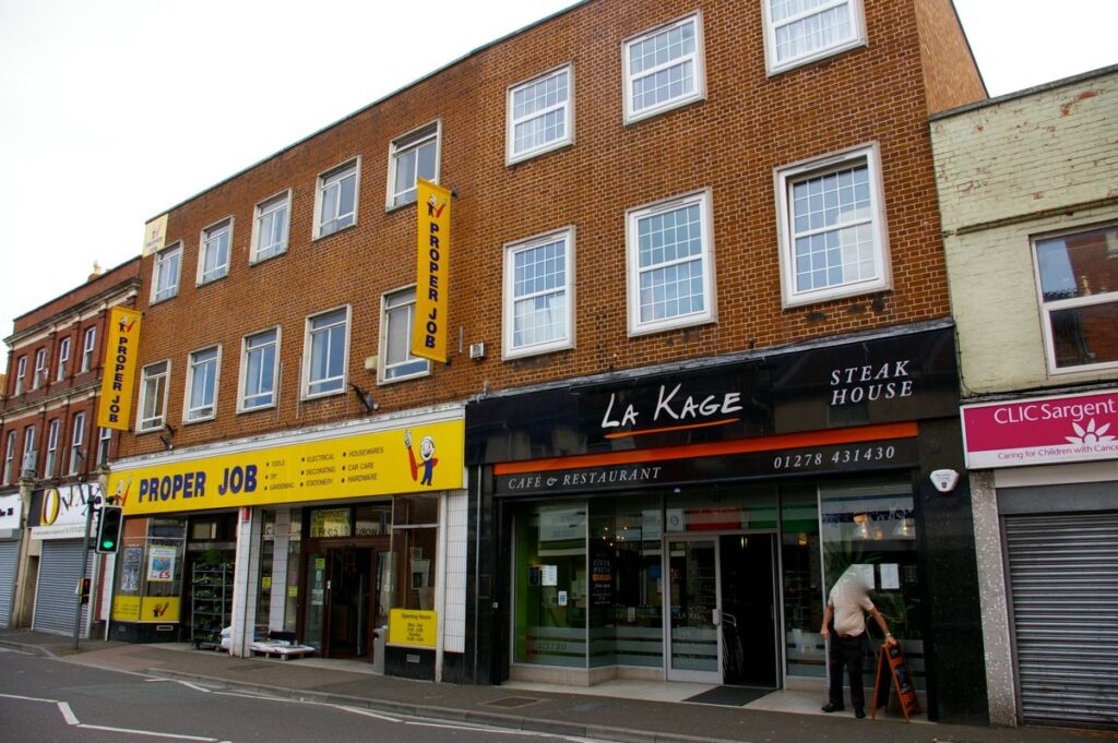
Former Woolworth’s and adjacent Eastover. Though modern, has some merit through symmetrical front and quality of brickwork in English bond. Mock pseudo-sash windows revert to an older style and look out-of-place on building to right. 
No . 14 Eastover. Painted Flemish bond brick. Concrete coping to parapet , with no sign of pitched roof. Concrete lintels over modern windows. No merit. 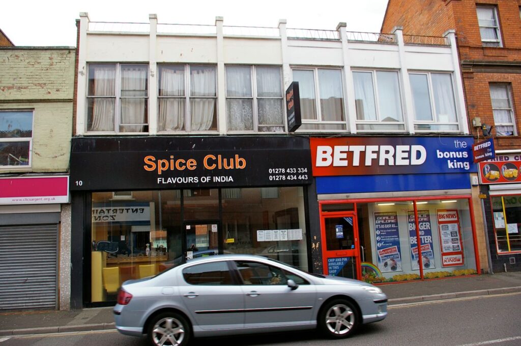
No. 10 Eastover and adjacent. Interesting design with strong vertical elements and embroidered parapet. Would be improved by becoming a single shop on ground floor. Merit 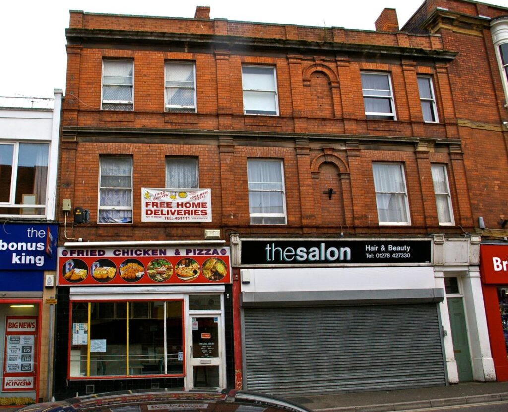
Two shops Eastover. Flemish bond brickwork., the building to left appears to be an addition but in keeping. Segmented brick arches over single pane sahes with horns. Semi-circular arches over niches to centre of main block. Corbels to shopfront to right, with doorway to upper floors. A grand shopfront. Merit 
Shop, BHF Eastover. Stetcher bond brick, probably cavity wall construction. Plain Hamstone horizontal courses with cornice to parapet. Full height oriel timber window, curved sides with sashes and horns. Merit 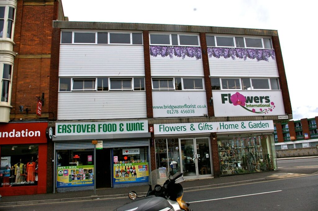
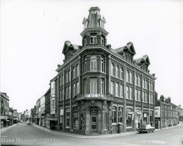
Corner building, Eastover, south side. As an example of 1960s architecture, there are many better which might be preserved. 
Corner building, Eastover, north side. Listed Grade II. See East Quay 
Shop, Eastover north side. Header bond brick and oversailing eaves. Windows with stone voussoirs. Blends with adjacent buildings, but otherwise of little merit. Vegetation growing in gutter. 
Shop, Eastover, north side. Flemish bond brick. The two upper windows are 6/6 sashes without horns, but the central recessed oriel widow is Crittal. Quoins to left and right. Considerable vegetation in gutters and on roof. Merit 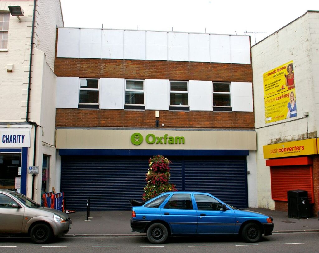
Shop, Oxfam, Eastover north side. Note brash advertising sign on shop to right. Set back from building line, with traces of old frontage to left. Of no merit 
Shop, Eastover north side. Rendered. Upper windows 6/6 sash with horns, lower 6/6 without horns. Cross-ties inserted. Parapet damaged. In poor condition but with some merit. 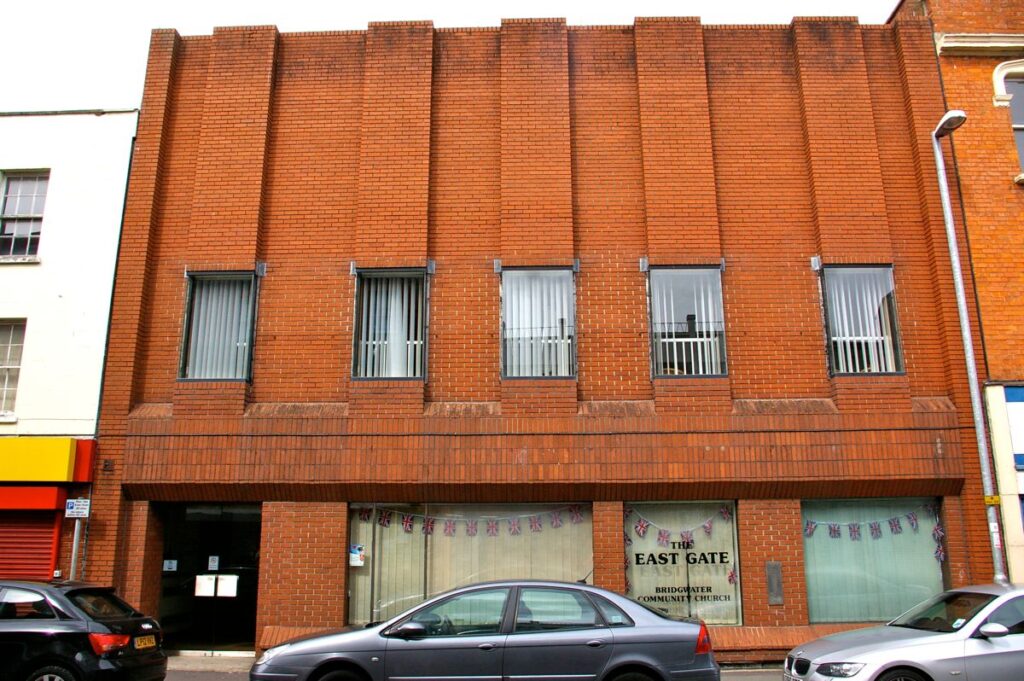
Church, Eastover, north side. Former Halifax Building Society office. Strong vertical emphasis in brickwork. Parapet is showing signs of water damage. Built 1970s. 
Shop Eastover north side. Brick, in approximately Flemish bond, with dated brick 1881 centrally and five courses down from cornice. Horseshoe-shaped decorated stone hood moulds over single pane sashes without horns. Curved bricks to jambs of window openings. Stone sills; upper supported by corbels. Merit 
No 17 Eastover north side. Two cottages or shops, with brick wall projecting above roof. The left-hand property has a flat plain stone lintel with keystone, that on the right a hoop-shaped decorated hood mould. Triple-delta tiled roof, oversailing; soffit with shallow pointed corbels. Vegetation in gutters and on roof. Merit. 
Shop, Eastover north side. Flemish bond brick under triple-delta tiled roof. The soffit is supported by shallow pointed corbels. Flush hood mould to split pane sash window with horns. Vegetation in gutter. Merit 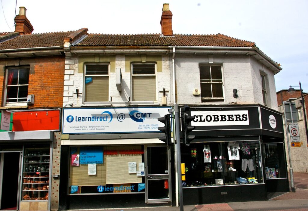
Corner shops, Nos 23 & 25 Eastover at junction with New Road. Panted Flemish bond brick under a triple-delta tiles roof. Window to right is a split-pane sash. Flat hood moulds. See also New Road. Merit 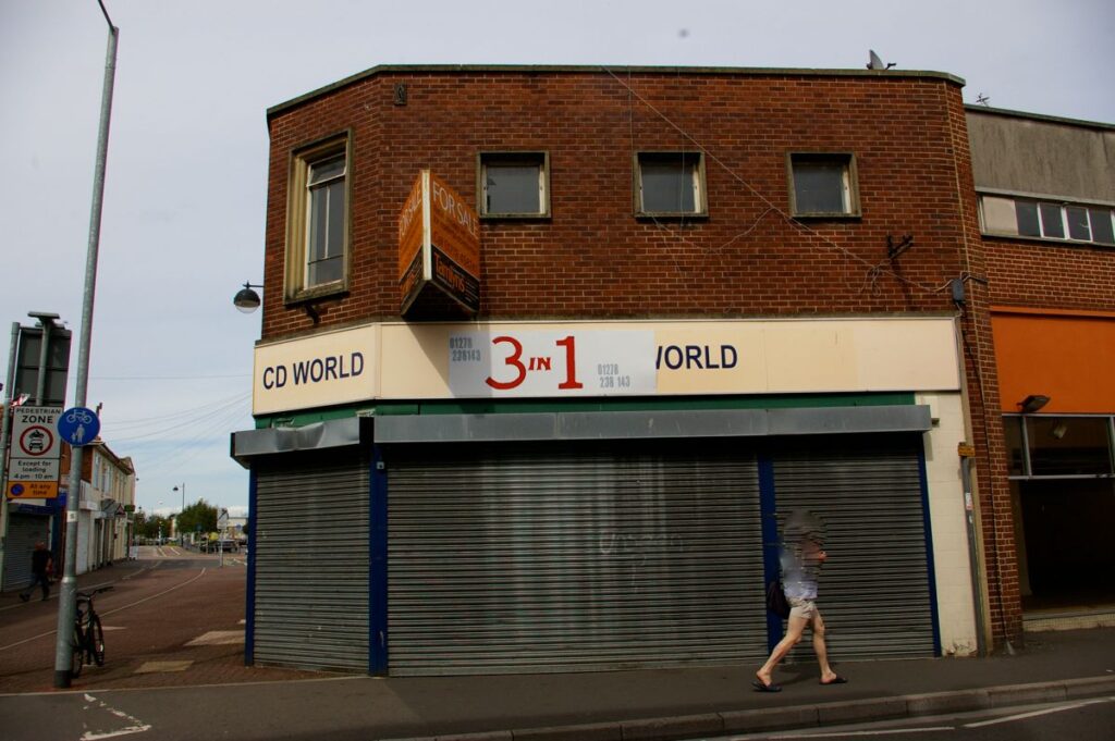
Corner shop Eastover with New Road. Stretched bond brick, implying cavity wall construction. Chamfered corner with stone surround to single window, but others are square and uninteresting. Some slight merit. 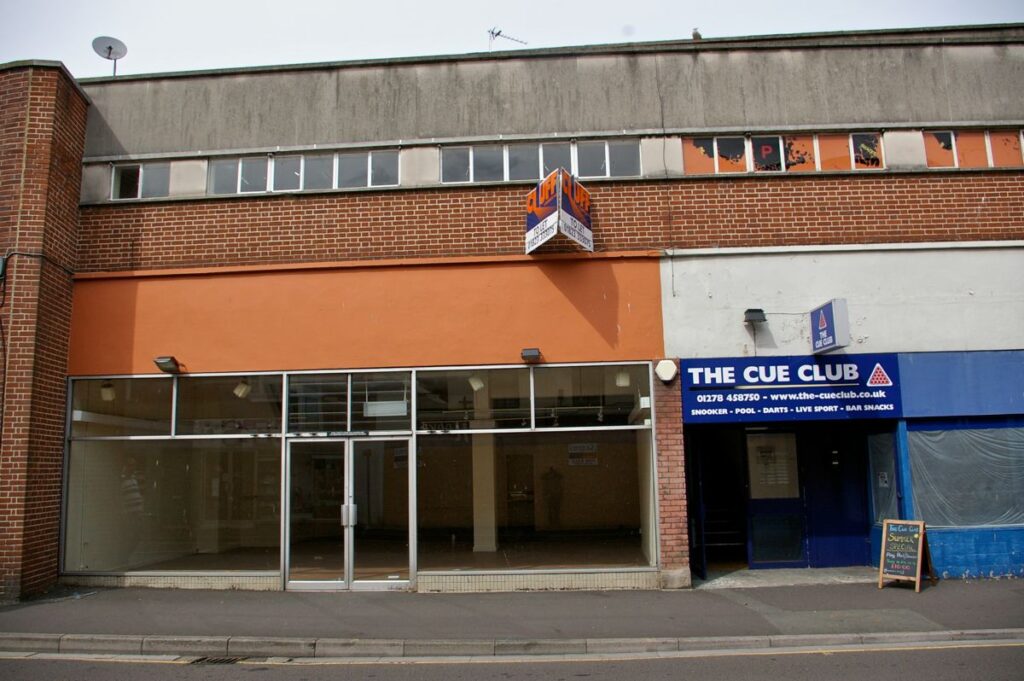
Shops, The Cue Club etc, Eastover north side. Of no merit. 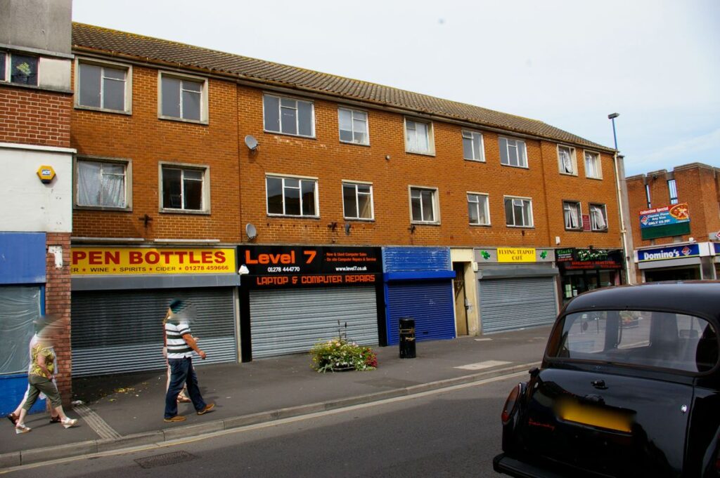
Terrace of five shops Eastover north side with living accommodation above. A suburban style of no great merit. 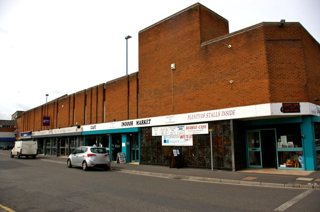
Former Sainsbury’s supermarket, Eastover north side junction with Church Street. Car park above. A dull building with no architectural merit. 
Corner of Eastover and Church Street. Flemish bond brick under a double Roman tiled roof with parapet on stone cornice. Flat stone surrounds to UPVC windows. Merit 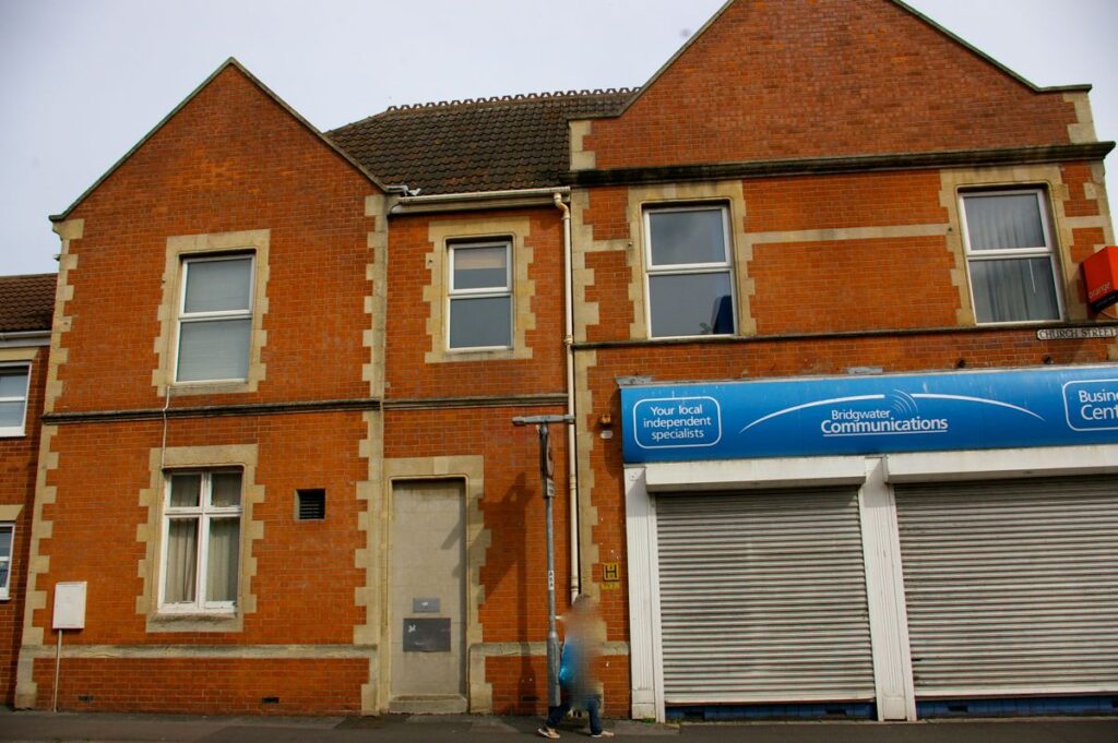
Side elevation corner building Eastover and Charch Strret. Flat quoins and mouldings. Merit 
No 61 Eastover. Flemish bond brick, large central stone mullioned 3-light window with simple moldings and flat stone surrounds. Merit 
No 65 Eastover. Flemish bond brickwork to tall thin structure with two stone mullioned windows, now parlty blocked by UPVC cladding. A flat-topped triangular piece completes the gable; this has a small central stone label between two stone platbands and two small acorns, the left of which is missing its upper part. Flat quoins. Merit 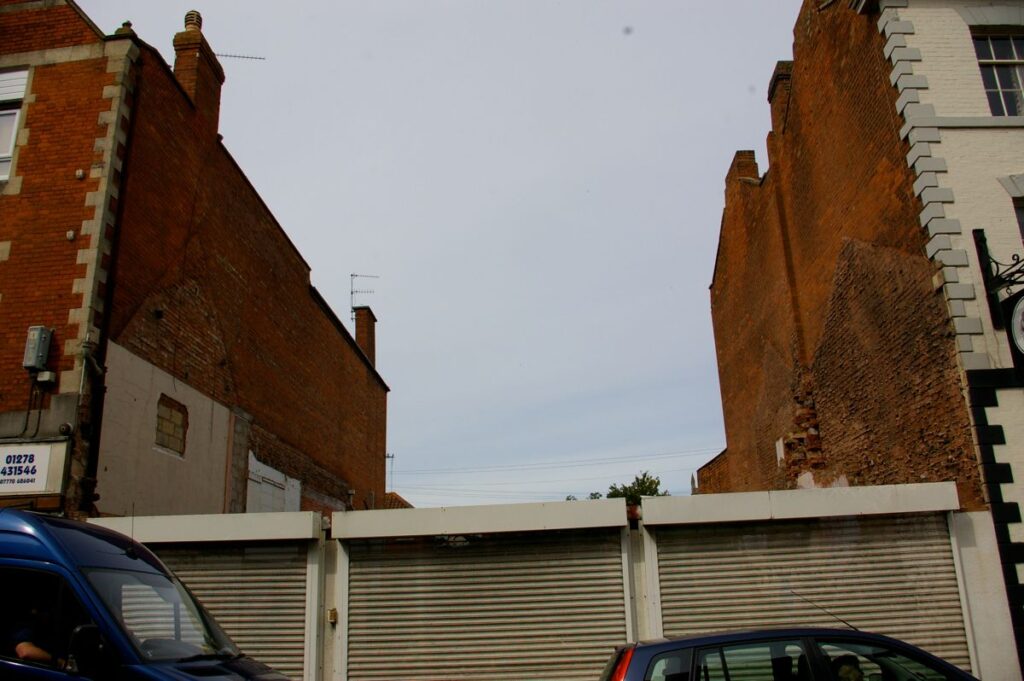
No 67 Eastover, now demolished 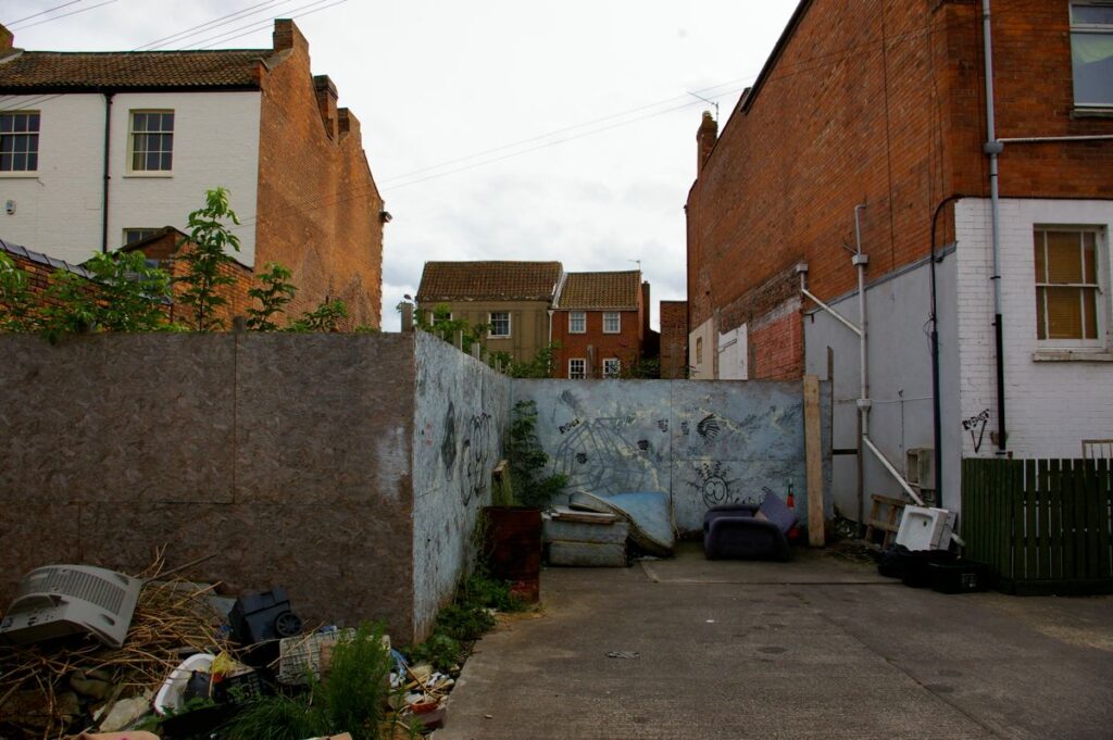
Rear of 67 Eastover 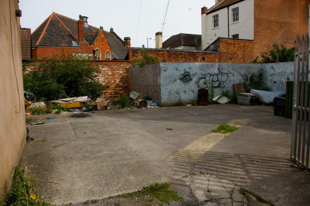
Rear of No 67 Eastover showing rubbish and graffiti. 
No 69 Eastover, Cobblestones public house. Listed Grade II. There is a substantial Wembdon stone wall to the rear of the premises which may relate to the East Gate. HER 14850
Historical Notes
Burgage Plots
T B Dilks, Bridgwater Borough Archives, Somerset Record Society, transcribes two documents which make clear & precise reference to mediaeval burgage plots within Eastover. A burgage was granted in the Community or Borough to its Burgesses. It is a plot of land which is long yet thin. In Bridgwater, a burgage plot commonly measures approximately 52 ft by 120ft or more; a half-burgage is similar length, but half the width (26 ft, more-or-less).
No 420 of 22 October 1386 relates to “unum dimidium burgagium … vico voc, Estovere” (a half burgage in the street called Eastover). It was between the tenements of John Sydenham and that of the Master of the Hospital of St John. John Kedwelly, one of the witnesses to the deed, was Town Clerk.
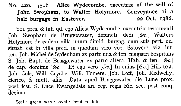
Another, No 1036 of 24 December probably 1480, to “vici vocati ibidem Estover videlicet inter dimidium burgagium meum” ( .. between my half burgage).
The position is given precisely in relation to the bank of the R.Parrett on the west and the Castlefield, where games were played.

See here for information on the Medieval Hospital of St John.
The East Gate
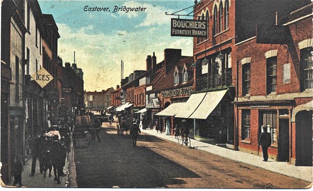
Jarman 1889 p.260 “East Gate spanned the roadway where the present ‘Queen’s Head’ stands in Eastover. It is related that a wild beast show was once entering the town through this gateway when a large caravan containing an elephant became stuck and would go no further. After several ineffectual attempts to get it loose the crown of the arch had to be removed in order to allow it to pass. This caused the structure to become unsafe and after a short time it was removed. This occurred within the recollection of some of the oldest inhabitants now living.
The King of Eastover
Powell Later Days pp.192-193 “As part of the Eastover Revels which was held in June, Eastover did not….possess a mayor and corporation, but it grew to be a sort of annual joke to seize upon some popular man, frequently the landlord of one of the inns, and elect him a sort of mock mayor for the occasion. A highly festive dinner was part of the programme, which was duly announced in the newspapers with all solemnity. At the feast, the Elected Mayor would be installed… it was the custom of the day to organise a great procession through the streets through which the mayor of the day was carried seated aloft in a chair gaily decked with laurels.
