Street names of Bridgwater starting with the letter T.
Tansey Court: Post 2006 Willstock Estate, date TBC. Named after a type of plant.
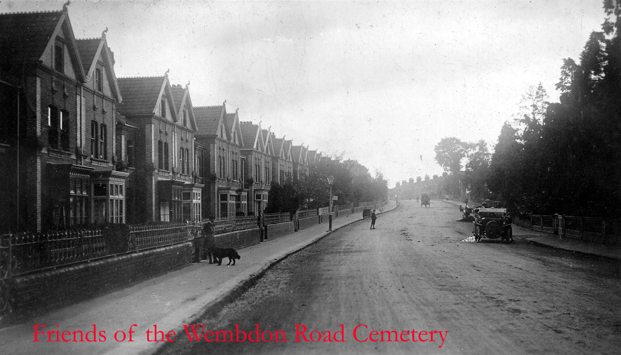
*[Old] Taunton Road: Called ‘Road from Taunton’ on 1735 Stratchey’s Map. The original course probably went past what is now the back of the old tollhouse, the dog leg being added in 1829-30 so all traffic would have to pass the one side of the gate. Called ‘Without the South Gate’ in 1341 (BBA, no.129).
[New] Taunton Road: The section from the Durleigh Brook to Southgate Avenue was built 1829-1830, as a modification of the turnpike route (VCH).

Teak Close: (late 20th c. Bower development – date TBC) One of a series of streets in a development, mostly named after trees types and flora. Orchard on the 1840s Tithe Apportionment Map.
Teal Close: Colley Lane housing estate, date TBC. Streets in this development were named after water birds, as this are was extensively dug for clay pits and then left as wetlands before development.
Teasel Path: Post 2006 Willstock Estate, date TBC. Named after a type of plant, noted for its connections to the Somerset Levels – very important in the wool industry in the medieval through to the Victorian period.
Teeswater Walk: Post 2006 Stockmoor Estate, date TBC. Name of unclear significance. Possibly refers to the type of sheep.
Temblett Green: Wembdon. Modern development, first shown on the 1978 Town Guide Plan. Name of unknown significance, although Temblett is a local name, so presumably in honour of a local worthy. Built over a field called Long Meadow.
Tetton Close: Part of the cooperative housing estate built by the 1967 Town Guide plan. One of a series of names on a new estate taken from local villages. Built over part of the Queenswood (TAM)
Theatre Place: with Rhondda Place, stretched between Clare/Back Street and Market Street/Prickett’s Lane and ran parallel to Angel Crescent. Theatre place took its name from the town’s theatre, which had previously occupied the site, and was apparently a copy of the Adelphi theatre of London. In 1837 it had been fitted out with gas lighting and heating. Exactly when it was built is unclear: an earlier theatre had apparently occupied the opposite side of the street. The theatre proved to be unprofitable, the Town Council removed its licence in 1853 and was so pulled down and replaced with a row of cottages (Jarman, chapter 18). Each cottage of Theatre place appears to have an out house on the 1888 OS Town Plan, which suggests a better class of court then the Bridgwater standard – Jarman described them as ‘neat’. These were demolished in 1960 to make way for a car park, which in turn is now occupied by the Angel Place Shopping Centre.
Thompson Close: (late 20th c. Bower development – date TBC). Presumably named after the Thompson dynasty of Quaker ironmongers of Bridgwater. Possibly Francis James Thompson, mayor.
Thorncombe Crescent: Part of the Sydenham Estate, under construction in 1953 (BFA: EAW051177) Shown on the 1967 Town Guide Plan. Presumably named after the village in Dorset. Several streets in this vicinity take their names from ‘-combe’ placenames. Built over a field called ‘Copland’ (TAM)
Tilly’s Buildings: West Street. A Small court of cottages behind the north east end of West Street. Possibly called Hew’s Court (possibly ‘Prew’s Court) in the 1841 Census, which consisted of 7 dwellings – they are the second property mentioned in West Street. The lead house was occupied by a Joseph Hew/Prew, which explains that name. The buildings appear on the 1854 Town Plan (number 17) and named on the 1887 OS 25″ Town Plan ‘Tilly’s’. Called No.2 Court in the 1937 Whitby Light and Lane Directory. Does not appear in the 1960 Kelly’s Directory. In the 1883 an Eliza Tilly is mentioned in John Whitby’s Directory. She appears in the 1881 Census in Tilly’s Buildings, a 59-year-old widow, if independent means, employing a servant and hosting a boarder. She had been married to a hairdresser called James Tilly – they were living in West Street by the 1861 Census, although in 1851 they had lived in High Street.
Timberscombe Way: Part of the cooperative housing state: built between the 1971 and 1972 Town Guide plans. Streets on this part of the estate were taken from local villages. Built between two old fields, one Broadlands and the other Skimmerton.
Todd’s Lane: See Oakfield Road.
Tokaro Close: Post 2006 Stockmoor Estate, date TBC. Name of unclear significance.
Tone Drive: Colley Lane Industrial Estate. This was one of the first new roads, laid out c.1965, completed by 1968 (Town Guide, 1965, p.61; Town Guide 1968). One of a number of roads in this estate to be named after Somerset Rivers. Tone derives from an Old Welsh term for ‘Roaring Stream’ (Ekwall).
Topaz Drive: Modern Little Sydenham Estate, post 2006 – date TBC. A number of roads on this estate are named after pretty stone types. Built over a field called ‘Yonder Thirty Acres, as opposed to ‘Hither Thirty Acres’, presumably in relation to Cockpit Farm. (TAM).
Tori Green: Post 2006 Stockmoor Estate, date TBC. Name of unclear significance.
Torr’s Buildings: a court running off of Monmouth Street, shown on the 1889 OS 25″ Town Plan. Presumably named after the builder or owner. Replaced by 34 and 36 Monmouth Street by the 1904 OS map.
Toulouse Road: Post 2006 Stockmoor Estate, date TBC. Presumably named after the place in France.
Tracey Close: Horsey. Modern. Date TBC. Significance unclear: possibly after the builder’s surname?
Trevor Road: Sydenham estate. Shown in the 1939 Town Guide. Complete by 1953 (BFA: EAW051177). Possibly named after the Cardiff-based builders who built the properties here, Frederick and Trevor Moss (with thanks to Heather Prosser).
Trinity Way: Modern NDR development and a continuation of Feversham Avenue, complete by 2006. Refers to the village of Chilton Trinity, Trinity being because the church there is dedicated to the Holy Trinity.
Triscombe Avenue: Part of the Cooperative Housing Estate: appears on the 1955 Town Guide Plan. Streets on this part of the estate were taken from local villages. Partly follows an old trackway leading to the ‘Parks’.
Tucker’s Buildings, West Street: Two cottages behind houses fronting West Street opposite to Halswell Lane. Named after the builder or owner – no Tucker is living in them in the census, although in 1841 a Thomas Tucker, 85 of independent means is living nearby. Referred to as ‘In Tucker’s Buildings‘ in the 1841 Census, when there were only two households. Appear on the c.1854 Town Plan. Shown and named on the 1887 OS 25″ Town Plan. The houses fronting West Street are gone on the 1904 OS Map, leaving the two cottages of Tucker’s Buildings behind. These were presumably the buildings described as Number 16 Court, West Street, which were mentioned in the Borough Health Report of 1925: “In 16 Court, West Street, six unhealthy and structurally dangerous houses have been demolished and three new houses are in the course of erection on the site”. By the 1930 OS Map the site of Tucker’s buildings was now occupied by a neat terrace had been built fronting West Street.
Tudor Way: Part of the Wills Road ‘Quantock View’ Estate, which was being built from at least 1986 onwards (see Wills Road). Most streets on this new estate celebrated notable townsfolk. (Exactly Who TBC) However this could be a generic name referencing the royal dynasty.
Tuli Walk: Post 2006 Stockmoor Estate, date TBC. Presumably named after the breed of cow rather than the Filipino rite of circumcision.
Tulip Tree Road: (late 20th c. Bower development – date TBC) One of a series of streets in a development, mostly named after trees types and flora. Marshland on the 1840s Tithe Apportionment map.
Tundra Walk: Post 2006 Stockmoor Estate, date TBC. Named after frozen wasteland.
Turin Path: NDR development, under construction in 2006. One of a series of names taken from places in Italy. Built over a field called ‘Rag’ (TAM).
Turner Close: New development off Old Taunton Road (date TBC). Named after Councillor John Turner, and during his lifetime, which is a high honour as this is not usual practice.
Tynte Road: (late 20th c. Bower development – date TBC) Probably named after Charles Kemys Tynte or his son of the same name of Halswell House, who served as MPs for Bridgwater. Built over fields called ‘Barnes’ and ‘Pig Acre’, and some buildings associated with Bower Farm.
