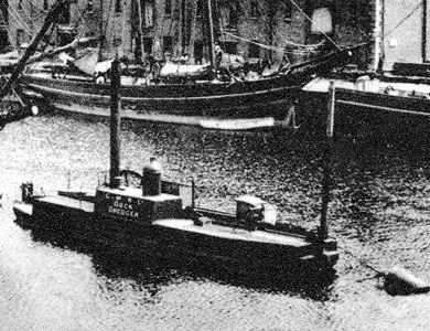
Research page on Bridgwater Docks, also known as the Floating Harbour.


Historically, the main port on the river was at Bridgwater town centre; where the river was bridged; the first bridge was built in 1200. Bridgwater was part of the Port of Bristol until the Port of Bridgwater was created in 1348, covering 80 miles (130 km) of the Somerset coast line, from the Devon border to the mouth of the River Axe. Quays were built from 1424. A Customs House was sited at Bridgwater, on West Quay. The river was navigable, with care, by 400 to 500 tonne vessels. By trans-shipping into barges at the Town Bridge the Parrett was navigable as far as Langport and (via the River Yeo) to Ilchester. After 1827, it was also possible to transfer goods to Taunton via the Bridgwater and Taunton Canal at Huntworth. A ‘floating harbour’ (the docks) was constructed between 1837–1841 and the canal was extended to the harbour. Shipping reached a peak between 1880 and 1885; with an average of 3,600 ships per year entering the port. Bridgwater also built some 167 ships; the last one was the Irene, launched in 19
Canal and docks
The Bridgwater and Taunton Canal had been built from Taunton to a basin at Huntworth, to the east of Bridgwater, where it entered the River Parrett, and opened in 1826. After the Bristol and Exeter Railway obtained an Act of Parliament to construct a railway which would pass through Bridgwater in 1836, to protect its trade the canal company sought their own Act to construct a floating harbour to the west of Bridgwater, and to extend their canal to join it. This was obtained on 21 April 1837, and the works were started. Construction work involved a deep cutting from Albert Street to West Street, a short tunnel at West Street, and an inner basin that covered 4 acres. A smaller outer basin covering 0.5 acres was connected to the inner basin by a lock and to the river by a ship lock consisting of a single 40-foot gate, and a barge lock, consisting of a pair of 14-foot gates. The whole outer basin could be used as a lock by larger ships up to 600 tons. The estimated cost of £25,000 for the scheme escalated to nearly £100,000, most of which was raised by mortgage. T
Closure of docks
By the mid-1950s,the total Port of Bridgwater was importing some 80,050 to 106,800 tonnes of cargo; mainly sand and coal by tonnage, followed by timber and flour. It was also exporting some 7,300 tonnes of bricks and tiles. But the brick and tile industry was in terminal decline, and in the mid-1960s it was clear that they were commercially non-viable. Offered for sale to any buyer; however, with no takers, the last coal was imported on 31st July 1971. In 1980s the derelict docks were restored and converted into a marina.
A fuller history of the Docks can be read here.
Features of the Docks


built 1844

built 1869

& Railway link to the docks
opened 1871

Other Materials
The Blake Museum and the Docks
A sketch history of Bridgwater’s Maritime Trade